
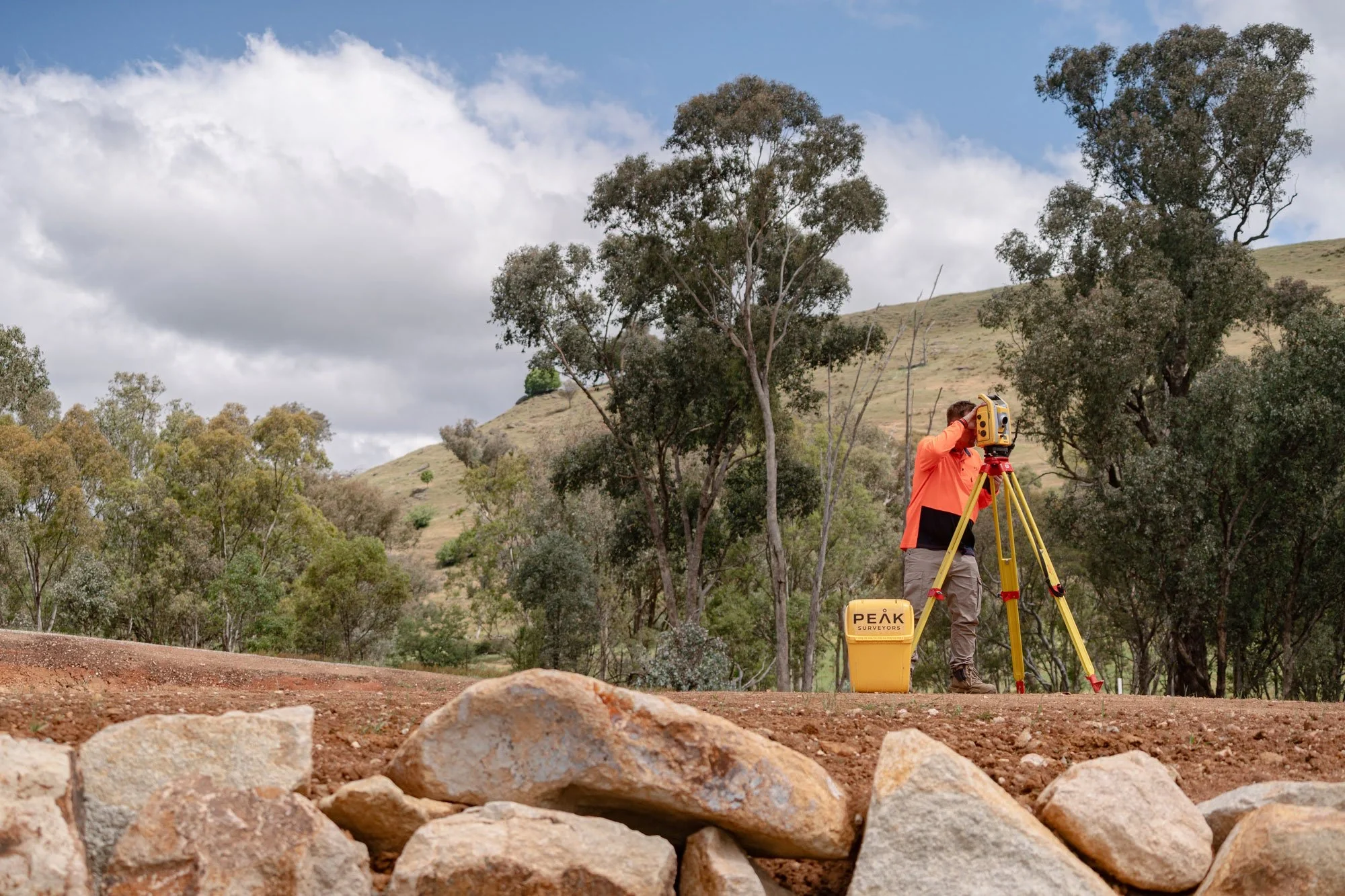
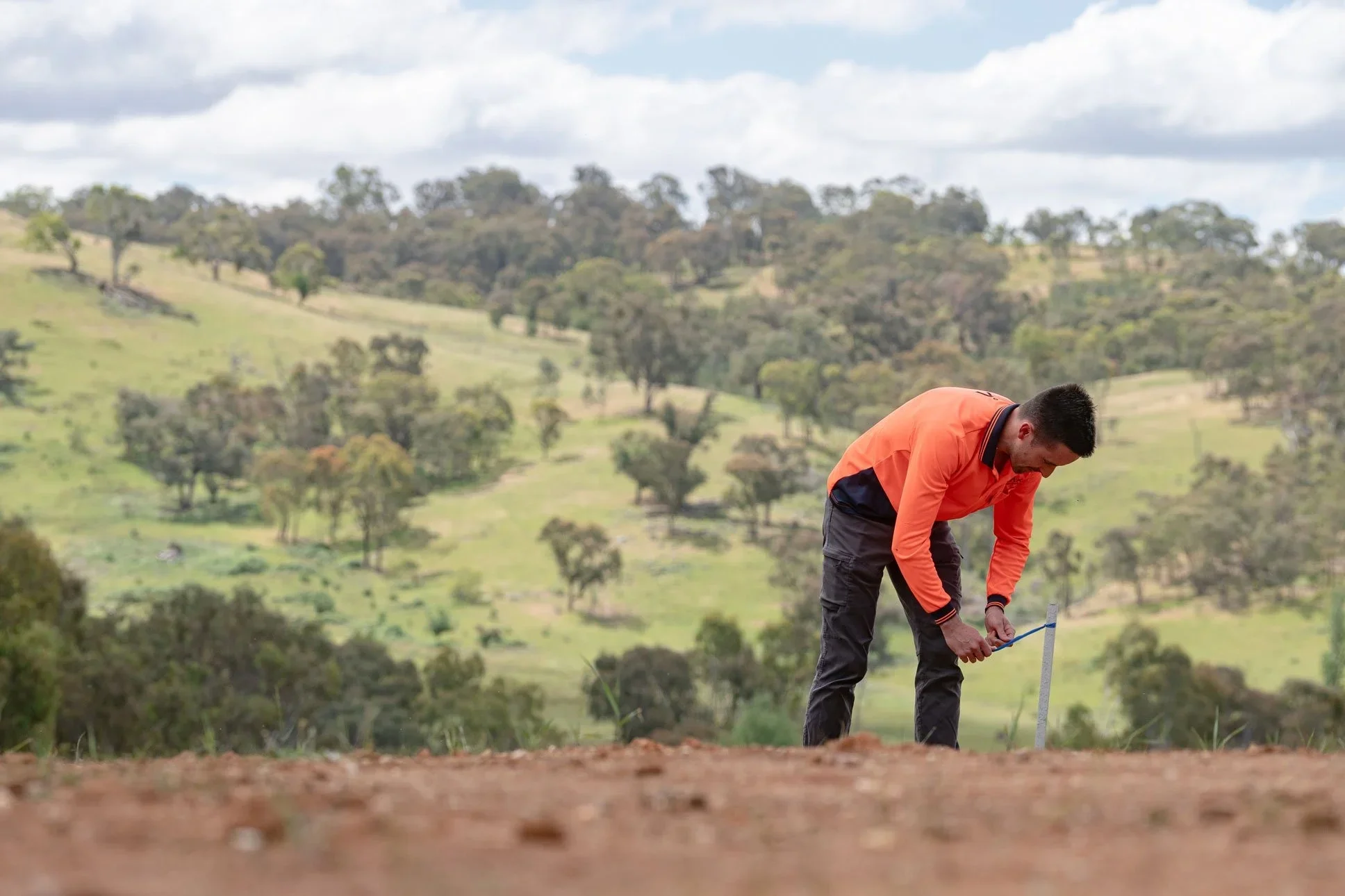
Land Surveying News and Insights
Practical guides, expert insights, and the latest news from the team at Peak Surveyors. Covering land surveying, property, and development across regional NSW and Victoria.
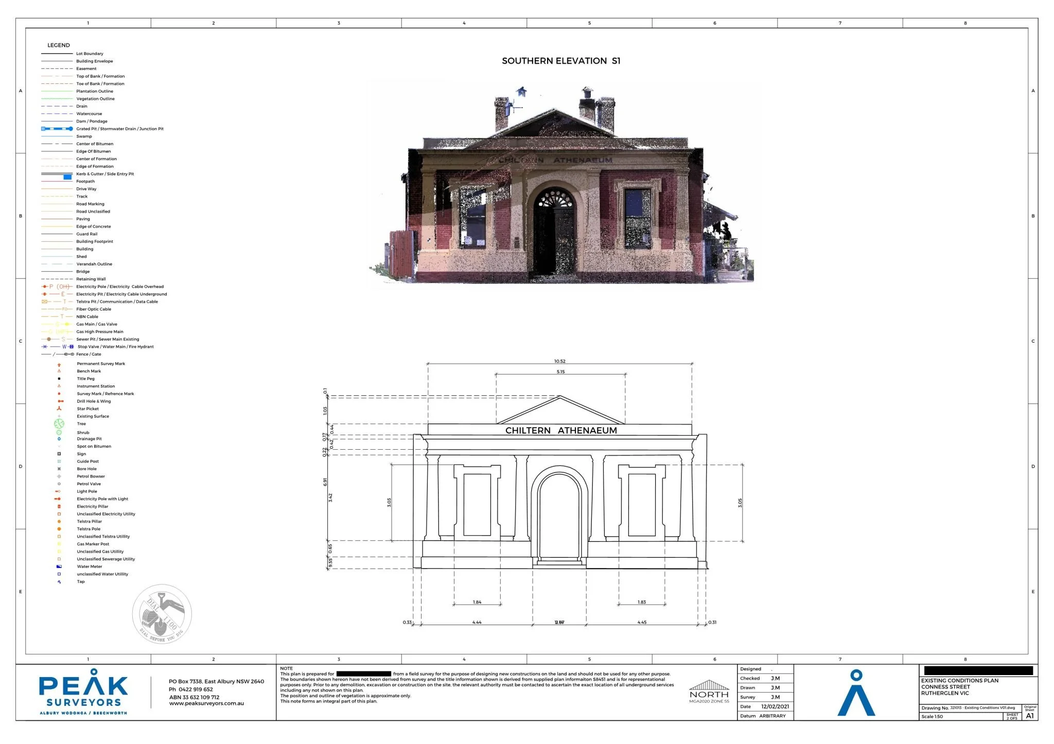
Signs Your Renovation Needs a 3D Scan
Renovations involving structural changes, hidden services, or heritage features often benefit from a 3D laser scanning survey. Discover the signs your project could use one, and how Peak Surveyors can help.
The Complete Guide to Topographic Surveys for Construction and Development
A topographic survey gives your design team the accurate, site-specific data they need before construction begins. Find out when you need one and how Peak Surveyors can help.
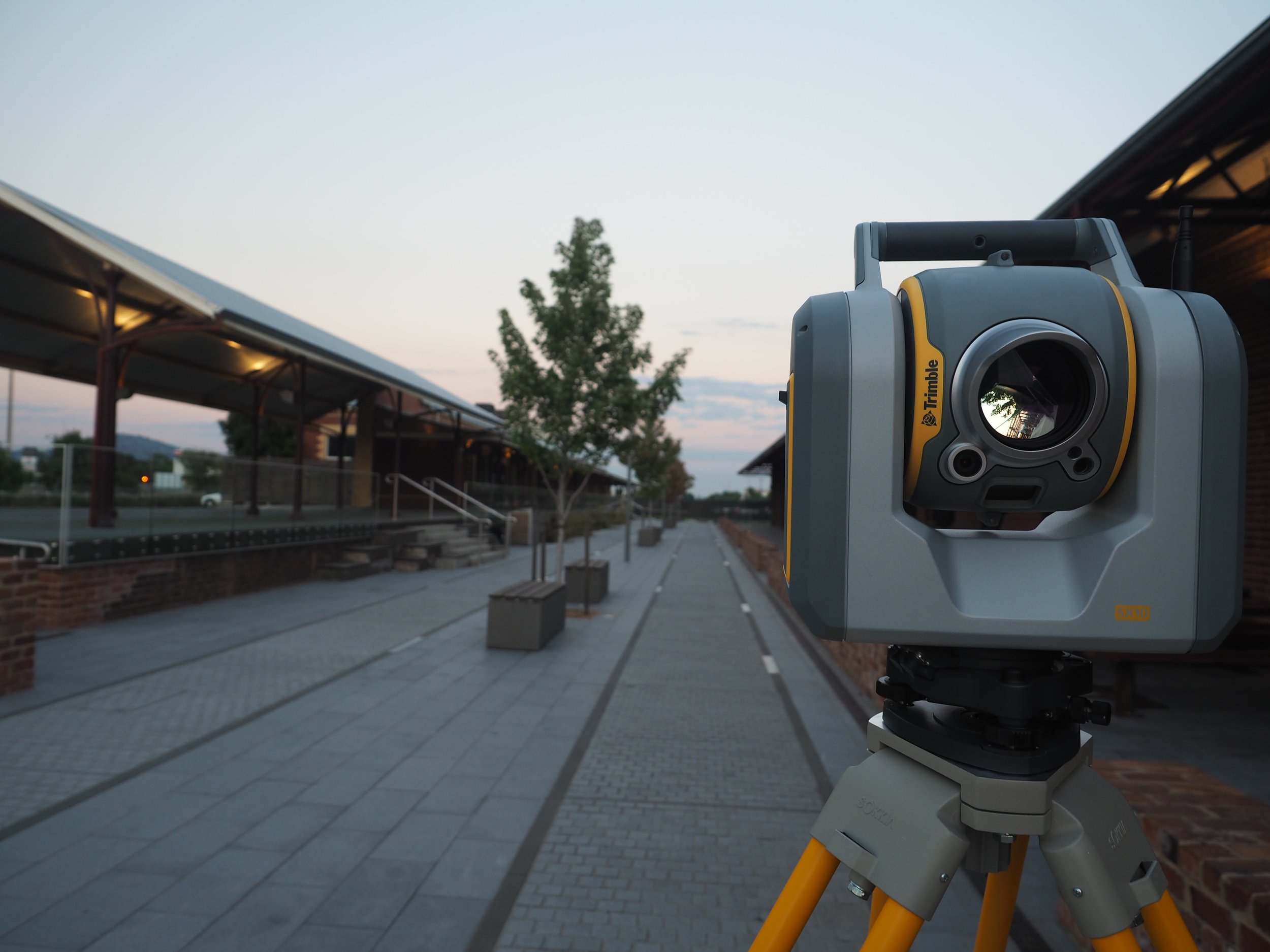
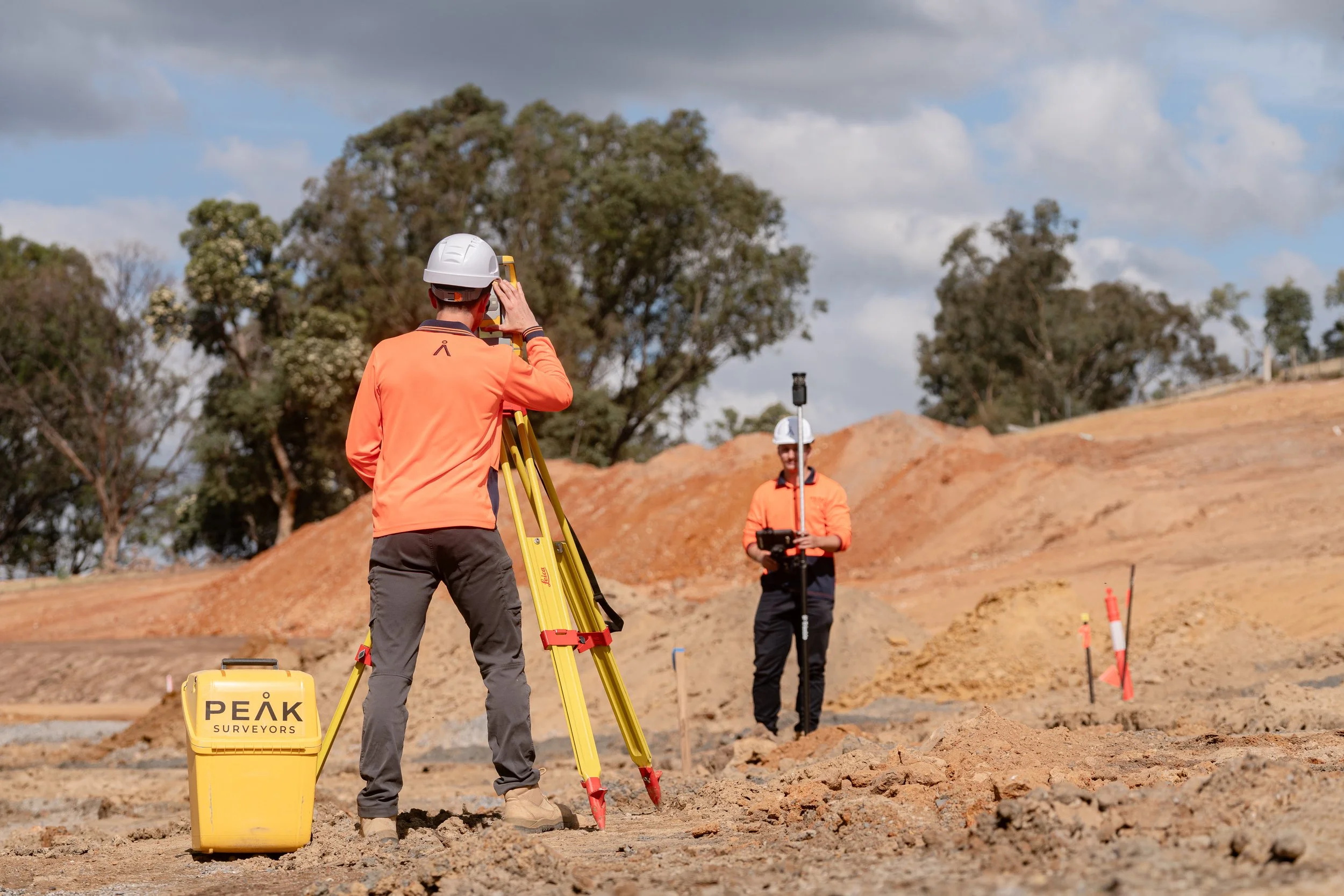
3D Laser Scanning or Traditional Surveying: Which Is Right for Your Project?
Choosing the right surveying method can make a real difference to your project's accuracy, efficiency, and cost. This guide compares traditional surveying and 3D laser scanning, and explains how combining both can deliver even stronger results.
UAV-LiDAR Surveying: Why It's Outperforming Traditional Methods
While traditional boots-on-the-ground surveying remains a reliable approach for small plots and strict legal boundary certifications, drone-based technology has revolutionized modern mapping. This guide breaks down the side-by-side differences between UAV LiDAR and conventional survey methods, helping you choose the right approach based on your project's scale, terrain complexity, and timeline.

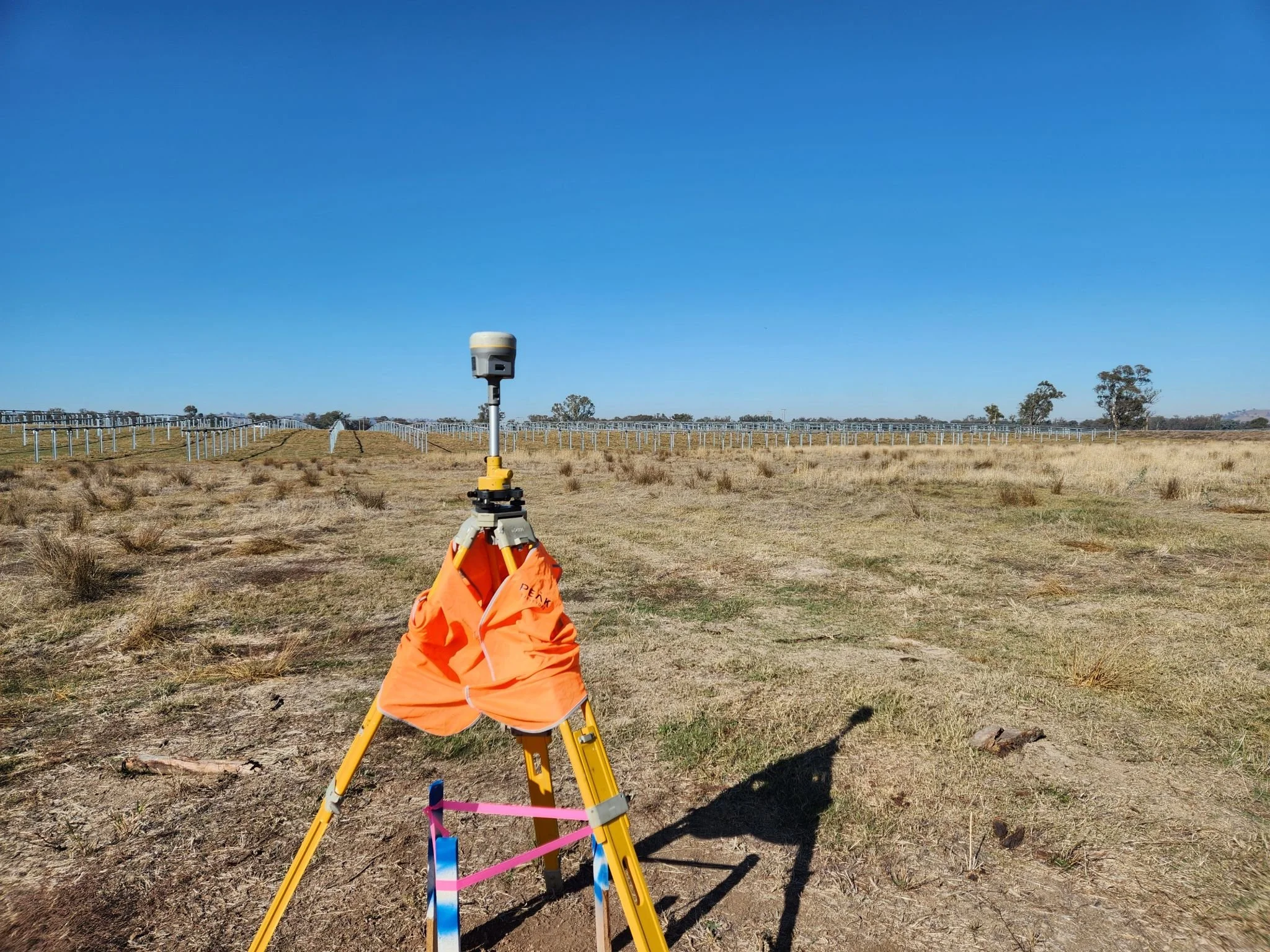
Understanding LiDAR Land Surveying and Aerial Drone Surveys
Drone-mounted LiDAR surveying captures millions of data points in a single flight, transforming how large-scale and complex terrains are mapped. Learn how professional LiDAR land surveying services deliver rapid, highly accurate 3D models and digital elevation maps to keep your engineering or development project on track.
Torrens, Community and Strata Subdivision: What's the Difference and Which One Do You Need?
Navigating the world of land subdivision can be complex, especially when choosing between Torrens, Community, and Strata titles. This guide breaks down the legal structures, management responsibilities, and common uses for each type of title. Whether you are looking to divide a residential lot or manage a complex development with shared facilities, learn how professional land surveying ensures your project meets the specific legislative requirements of both NSW and Victoria.
Topographic, Boundary, and Subdivision Surveys: Which One Do You Need?
Choosing the right survey is essential for keeping your project on track and reducing legal risk. This guide breaks down the differences between topographic, boundary, and subdivision surveys, explaining when you need them and how they protect your investment. Whether you are building a home or managing a large-scale development, discover how professional land surveying provides the accuracy and compliance you need to move forward with confidence.