
The Complete Guide to Topographic Surveys for Construction and Development
Key Points:
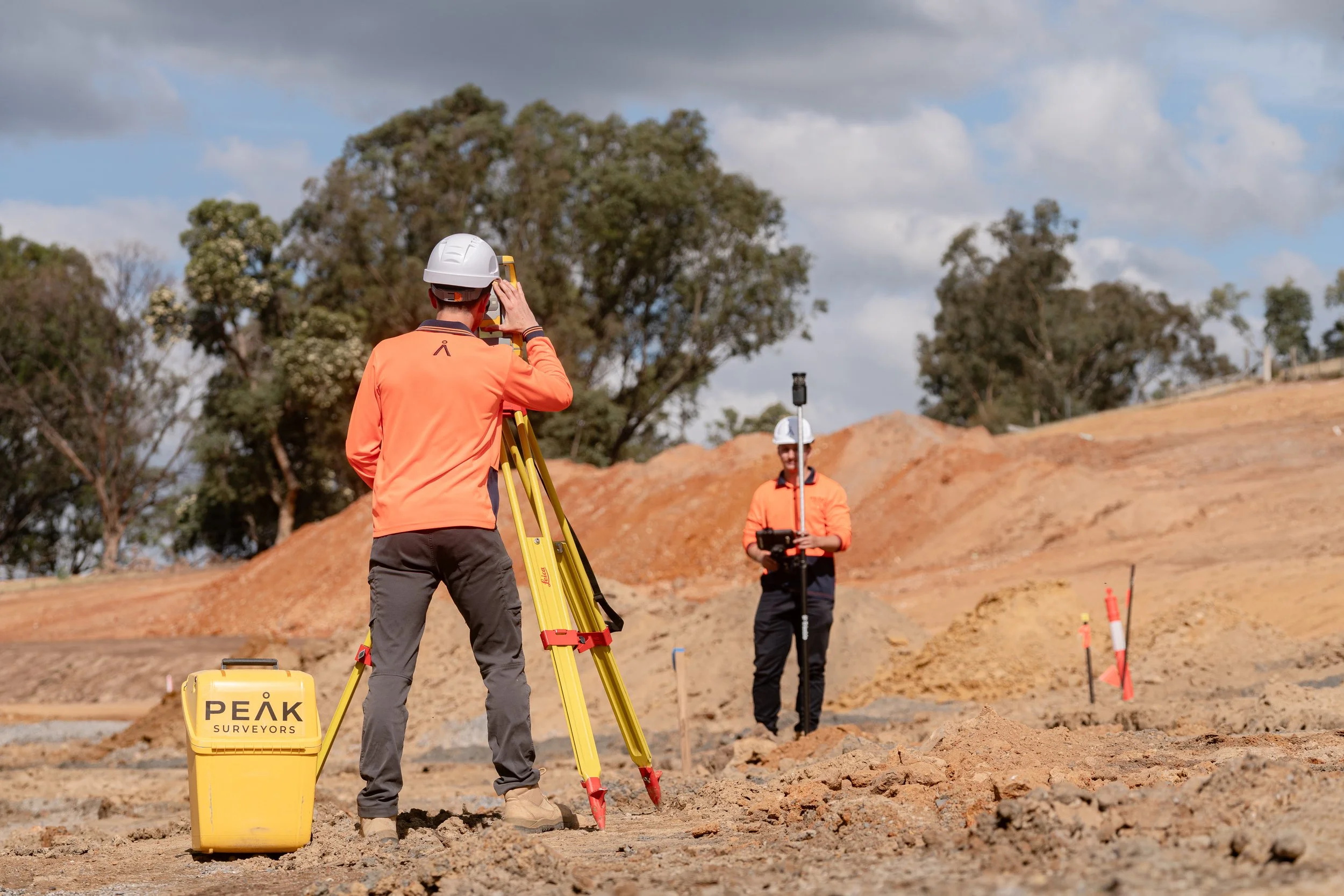
A topographic survey captures both natural and man-made features of a site, including ground levels, contours, vegetation, and existing structures.
Commissioning a site topographic survey before engaging an architect or submitting council plans helps prevent design errors, compliance issues, and costly delays.
Topographic surveys and detail and boundary identification surveys serve different purposes and are used at different stages of a project.
The key benefits of topographic surveying include informed design, risk mitigation, cost efficiency, boundary dispute prevention, and regulatory compliance.
Summary:
Topographic surveying captures detailed information about a site's physical features and elevation, giving architects and engineers the data they need to design accurately and avoid costly mistakes. Knowing when to commission a site topographic survey and understanding how it differs from a boundary identification survey can save significant time and money across a project. Peak Surveyors delivers professional topographic feature and level survey services across Albury, Wodonga, Wangaratta, Bright, and Wagga Wagga.
Outline:
If you are planning a new build, an extension, or a development project, you have probably heard the term "topographic survey" come up in conversation. But what does it actually mean, and why does it matter for your project?
A topographic survey is one of the most important steps you can take before breaking ground. It gives your design team an accurate, detailed picture of your site, including the shape of the land, what is on it, and how water moves across it. Without this information, even the most carefully planned project can run into unexpected problems.
In this article, we will walk you through what topographic surveys are, when you need one, how they differ from other survey types, and what benefits they bring to construction and development projects. We will also explain how Peak Surveyors can help, whether you are based in Albury, Wodonga, Wangaratta, Bright, or Wagga Wagga.
Why Are Topographical Surveys Needed?
A topographic survey is a highly detailed survey of a site. It captures both the natural features of the land and everything that has been built on it. That includes:
Ground levels and land contours
Trees, vegetation, and landscaping features
Retaining walls, fences, driveways, and kerbs
Buildings and structures on the property
This level of detail is critical before any design, planning, or council approval process begins.
When accurate contour and feature data are missing, things can go wrong quickly. Design errors become more likely, which can lead to costly revisions and project delays. Drainage and stormwater plans may not meet compliance requirements. Development Applications can be held up or rejected. These are problems that are far easier and cheaper to avoid upfront than to fix once a project is underway.
Topographic surveying solves this by embedding real-world, site-specific data into every stage of your design and build. Your architects and engineers are working from verified information rather than assumptions, and that makes a significant difference to the outcome.
When Do You Need a Topographical Survey?
Topographic surveys are used across a broad range of residential and commercial scenarios. You may need one if you are:
Designing a new home or planning an extension
Submitting a Development Application (DA) or planning permit to your local council
Starting a residential or commercial development project
Assessing drainage, flood levels, or site gradients
Planning landscaping, pool, or driveway work
The best time to commission a topographic survey is before you engage your architect or submit any plans to council. When your design team has accurate, verified site data from the start, they can work more efficiently and with greater confidence.
Getting a site topographic survey done early can prevent construction errors, improve design accuracy, and help identify site constraints before they become costly surprises. It is one of those steps that pays for itself many times over by the time a project reaches completion.
Topographic Survey Vs. Detail and Boundary Identification Survey: What's the Difference?
These two survey types are often confused, but they serve quite different purposes. Understanding the distinction helps you know which one your project actually requires.
A topographic survey measures and maps the physical features and elevation changes across a property. Its focus is on what is on the land and how the land sits.
A detail and boundary identification survey, by contrast, is a legal process. It researches historical deeds and title records to establish and physically mark the exact legal boundaries of a property.
Here is a straightforward comparison:
| Topographic Survey | Detail and Boundary ID Survey | |
|---|---|---|
| Primary Focus | The shape of the terrain and the location of physical features | The precise legal dimensions and property lines |
| Key Elements Mapped | Elevation contours, spot levels, drainage, trees, utilities, and existing structures | Title deed correlations, corner pegs, encroachments, and fence or wall alignment relative to boundary lines |
| Primary Use Cases | Architectural design, civil engineering, site grading, landscaping, and flood assessments | Land subdivisions, real estate transactions, and resolving boundary disputes |
| Legal Status | Used for planning purposes; does not legally bind boundary disputes | Serves as legally binding evidence in court or during property transactions |
When do you need each one?
Topographic survey: When you are planning an extension, designing a new build, or working through site drainage. It helps civil engineers and architects understand the land so they can calculate earthwork volumes and reduce construction risk.
Detail and boundary identification survey: When you are building a new fence, retaining wall, or extension close to your property boundary, or when you are buying or selling a property and need to confirm the exact land area.
In some projects, both survey types are needed at different stages. A qualified and licensed surveyor can advise you on the right approach for your specific situation.
What Are the Benefits of a Topographic Survey?
A topographic feature and level survey maps the exact physical features, elevations, and boundaries of a parcel of land. It provides the foundational data that architects and engineers rely on to design safely, make the most of a site, and avoid costly mistakes.
Here are the key benefits
Informed design and planning
Exact measurements of contours, slopes, and existing structures allow layouts to be tailored to the natural shape of the land. Your design team is not guessing; they are working from facts.
Risk mitigation
A topographic survey can identify hidden issues early, including flood-prone areas, unstable soil conditions, and underground utility conflicts. Catching these before construction begins is far less expensive than discovering them mid-project.
Cost and time efficiency
By preventing design errors and avoiding unexpected delays, a topographic survey helps ensure that budgets and timelines stay on track. It is an investment that reduces waste across the entire project lifecycle.
Boundary dispute prevention
The survey provides an impartial, documented record of property features and lines. This can be invaluable if questions arise later about what is and is not part of a property.
Regulatory compliance
For many building and development projects, a topographic survey is a requirement. It helps demonstrate compliance with local zoning and environmental policies and supports the approval of building permits.
Boundary and topographic surveying, when done well, sets the foundation for a smoother, better-informed project from start to finish.
Do You Need a Topographic Survey?
If your project involves any kind of design, development, or construction work, the answer is almost certainly yes.
Peak Surveyors provides topographic surveys for Wagga Wagga landholders, and feature and level survey services across Albury, Wodonga, Wangaratta, and Bright.
As licensed land surveyors, our team delivers topographic and feature survey data in formats that are ready for immediate use by your design and engineering team. No delays, no compatibility headaches, just accurate data when you need it.
We work with homeowners, architects, civil engineers, and developers across both sides of the Murray River. No matter the scale of your project, we are here to give you the site information you need to move forward with confidence.
Ready to get started?
Contact Peak Surveyors today to discuss your project and find out how our topographic survey services can set your build up for success from day one.