
Glenellen Solar Farm
A large-scale Agri-Solar project delivering renewable energy to the Greater Hume Shire.
What This Project Is About
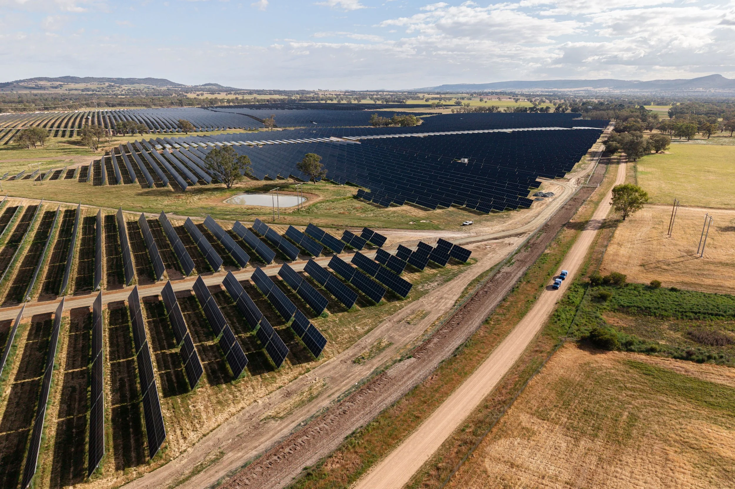
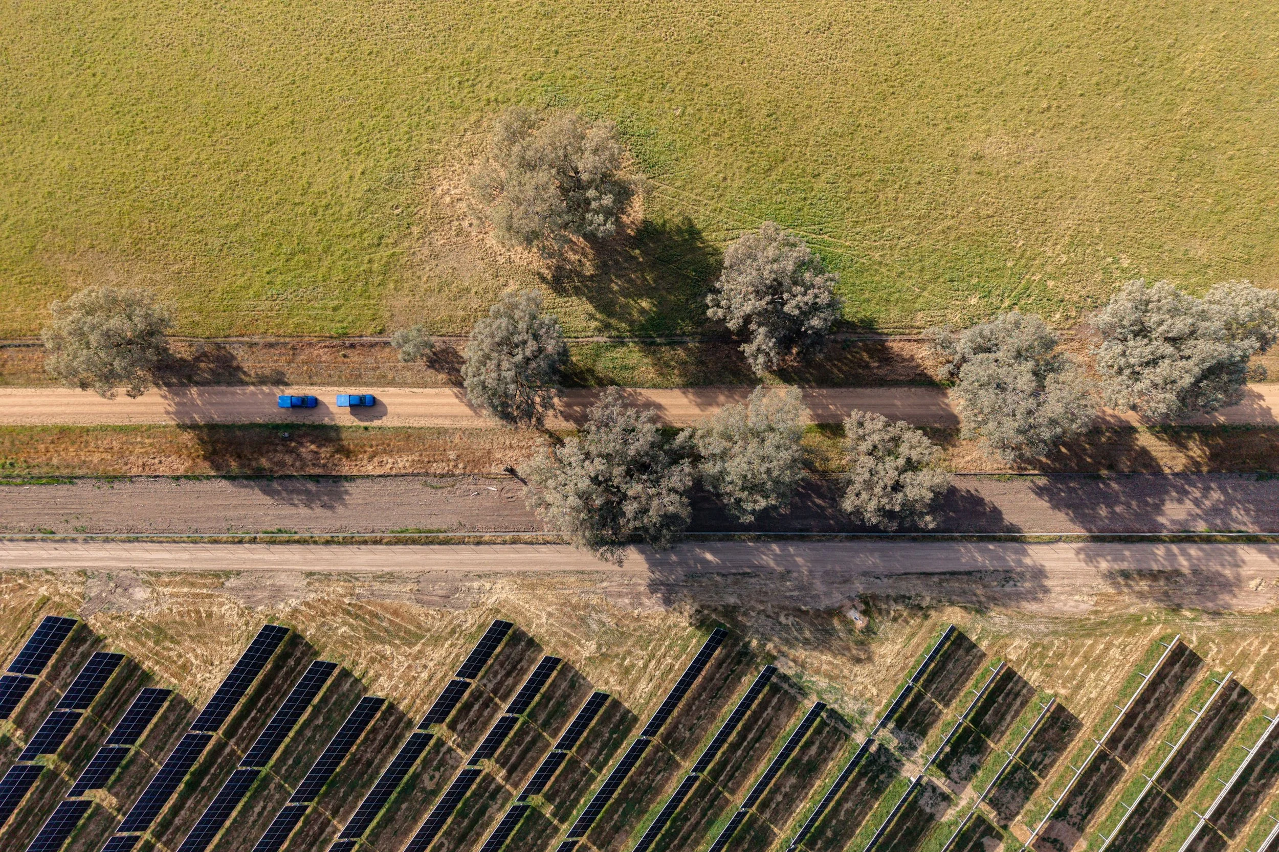
Glenellen Solar Farm is a large-scale Agri-Solar project located in the Greater Hume Shire, spanning Glenellen and Jindera, 2km north-east of Jindera and 16km north of Albury. Delivered for Global Power Generation (GPG), the project covers 263 hectares within a 398-hectare site and carries a grid-scale capacity of 260 MWdc / 200 MWac.
The solar farm features approximately 380,000 single-axis tracking solar panels reaching up to 5 metres tall, along with up to 60 power conversion units incorporating inverters and transformers.
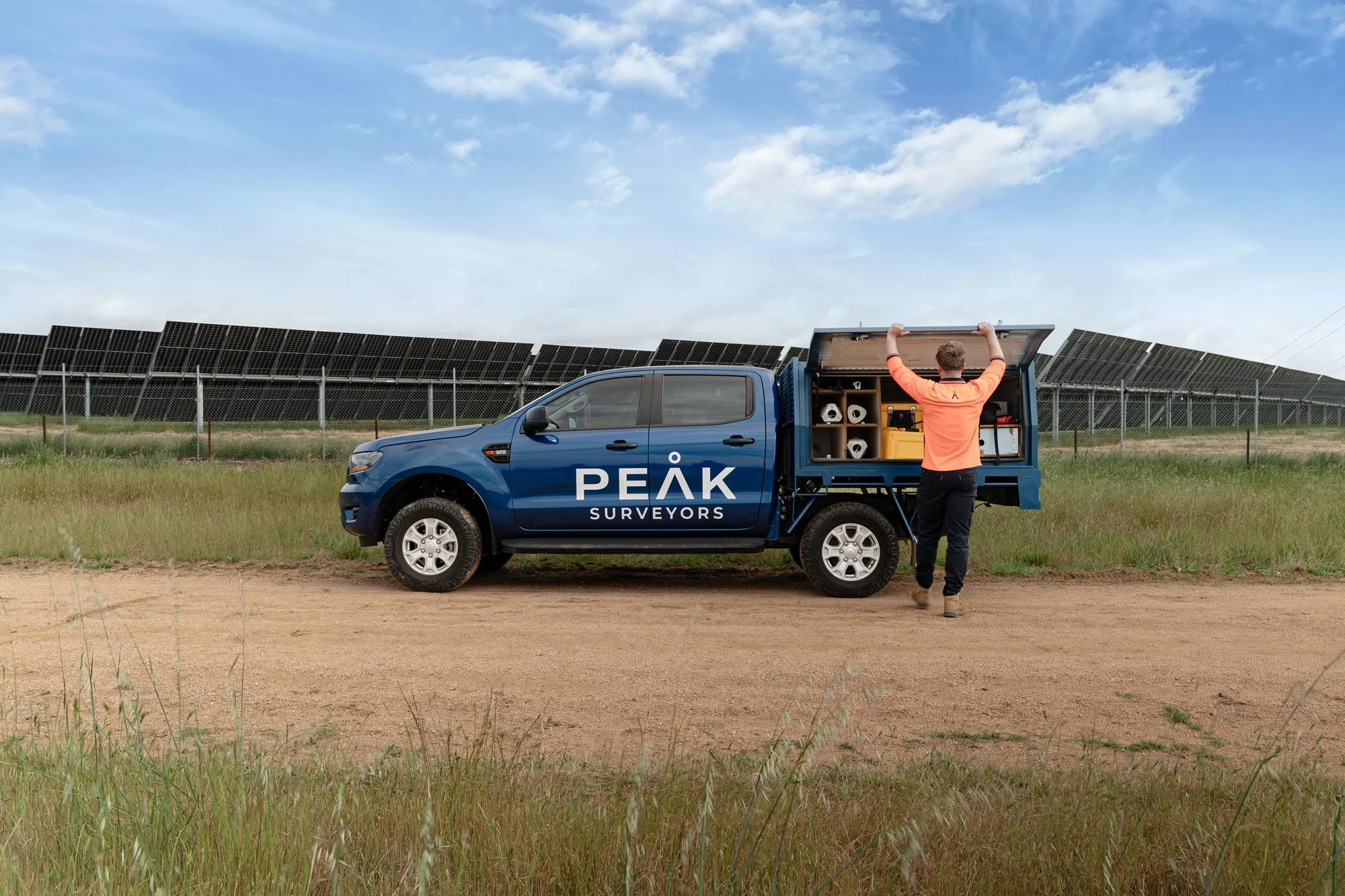
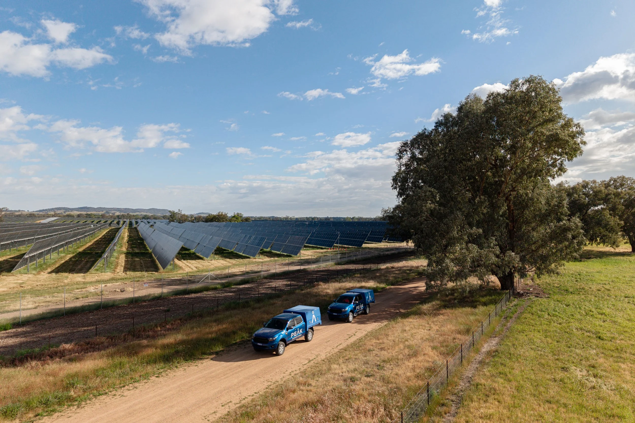
Peak Surveyors was engaged to deliver the full surveying scope, from initial aerial LiDAR mapping and site control establishment through to as-built surveys on the completed infrastructure.
The Challenge
The sheer scale of the site meant that standard surveying approaches weren’t going to cut it. Aerial LiDAR was used to map the terrain efficiently and establish a reliable spatial framework across the full 263-hectare area.
From there, highly accurate survey control was needed to be set up on site to meet the tight tolerances required for inverter placement, which was a technically demanding aspect of the project where precision directly affects performance. As-built surveys were completed on pile locations and validated against design drawings throughout construction, alongside ongoing set-out and conformance checks to keep the build on track.
The Outcome
Glenellen Solar Farm is now fully constructed and operational, powering a significant portion of electricity across the Greater Hume Shire and delivering large-scale renewable energy to the community in which it sits. It stands as a strong example of what accurate, well-managed surveying can make possible on complex, large-scale infrastructure projects.
SERVICESLease plan registration
For submission to NSW Land Registry.
LiDAR and aerial survey
To form the basis of the solar farm layout and design.
Definition of title boundaries
For accurate design against existing farm holdings and unused government roads.
Precise survey control installation
To accurately locate and align details with sub-centimetre accuracy tolerances.
As-built surveys
On newly installed piles and inverters, and to check against flood overlays.
Subdivision of land
To facilitate council DA approvals for new substations.
Electrical line set-out
For new high-voltage and low-voltage electrical lines.
Easement creation plans
To show proposed location, dimension, and purpose of easements.
Essential Energy certifications
For electrical easements being created to benefit the electrical authority.
VIEW OTHER CASE STUDIES