
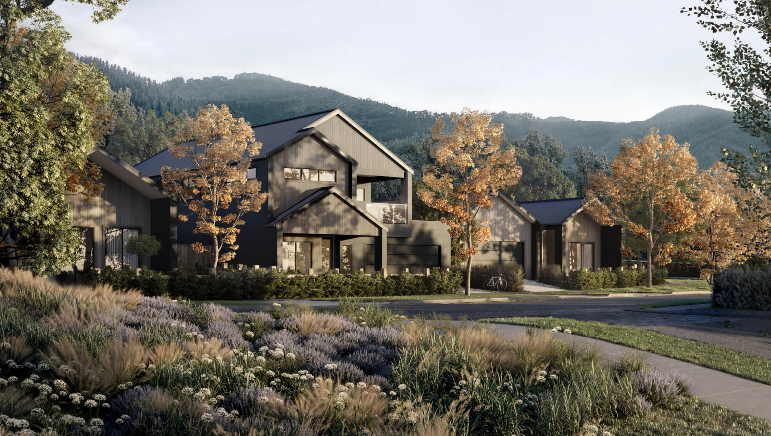
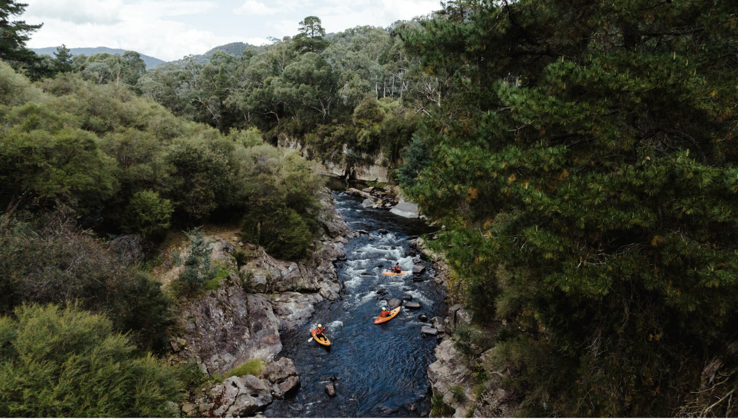


Bright Valley Estate
A major, multi-stage residential development in Bright, Victoria.
SERVICES DELIVEREDTitle boundary definition
To accurately fix external property boundaries for lot design and functional layouts.
Civil engineering survey
To inform accurate stormwater drainage outflows and overall servicing strategy of the project site.
Aerial drone LiDAR mapping
To capture tree canopy extents for arborist reporting, peripheral site contours and elevation mapping & high resolution imagery of the site.
Tree tagging and survey
For arborist reports.
Boundary plans
Lodged with Land Victoria to give certainty to external boundary positions.
Government Road closure and land exchange
Involving council, state government and related parties to free up developable area for the project site.
Plans of subdivision
For titling various stages releases.
Easement creations
For as-built and proposed assets.
Reserve creations
For electrical sub-station kiosk reserves and parkland spaces.
Set-out and boundary marking
For lots.
As-constructed surveys
For submission to local authorities.
Site surveys
For finalised lots to inform accurate building design.
View OTHER case studies