
Home Feature and Level Surveys.
Feature and Level Surveys.
Professional Feature and Level Survey Services
Detailed topographic and feature surveys that give your design team the accurate site data they need before design work begins. Serving Albury-Wodonga, Wangaratta, Bright, Wagga Wagga, and surrounding regions.
The basics.
What is a Feature and Level Survey?
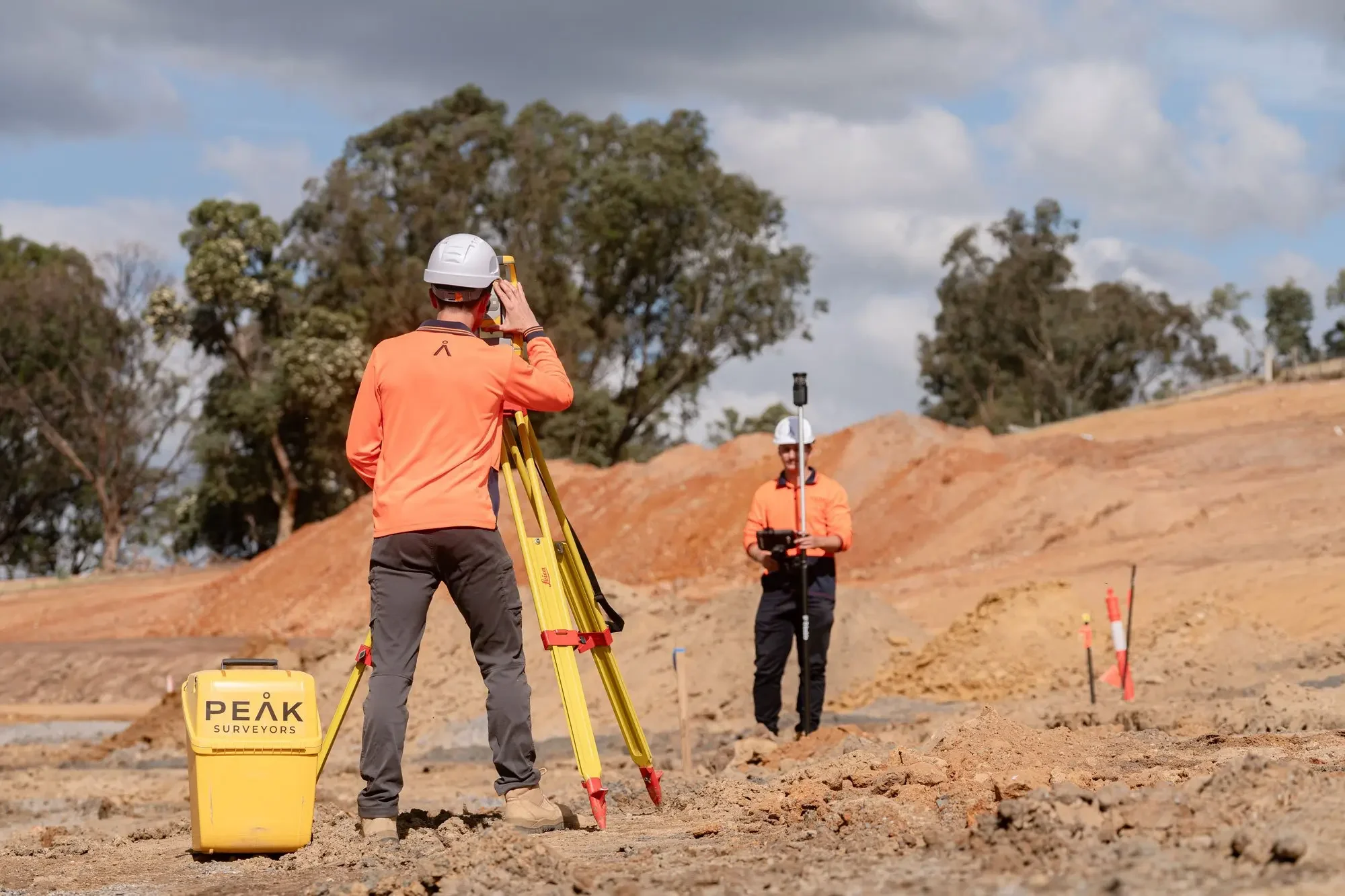
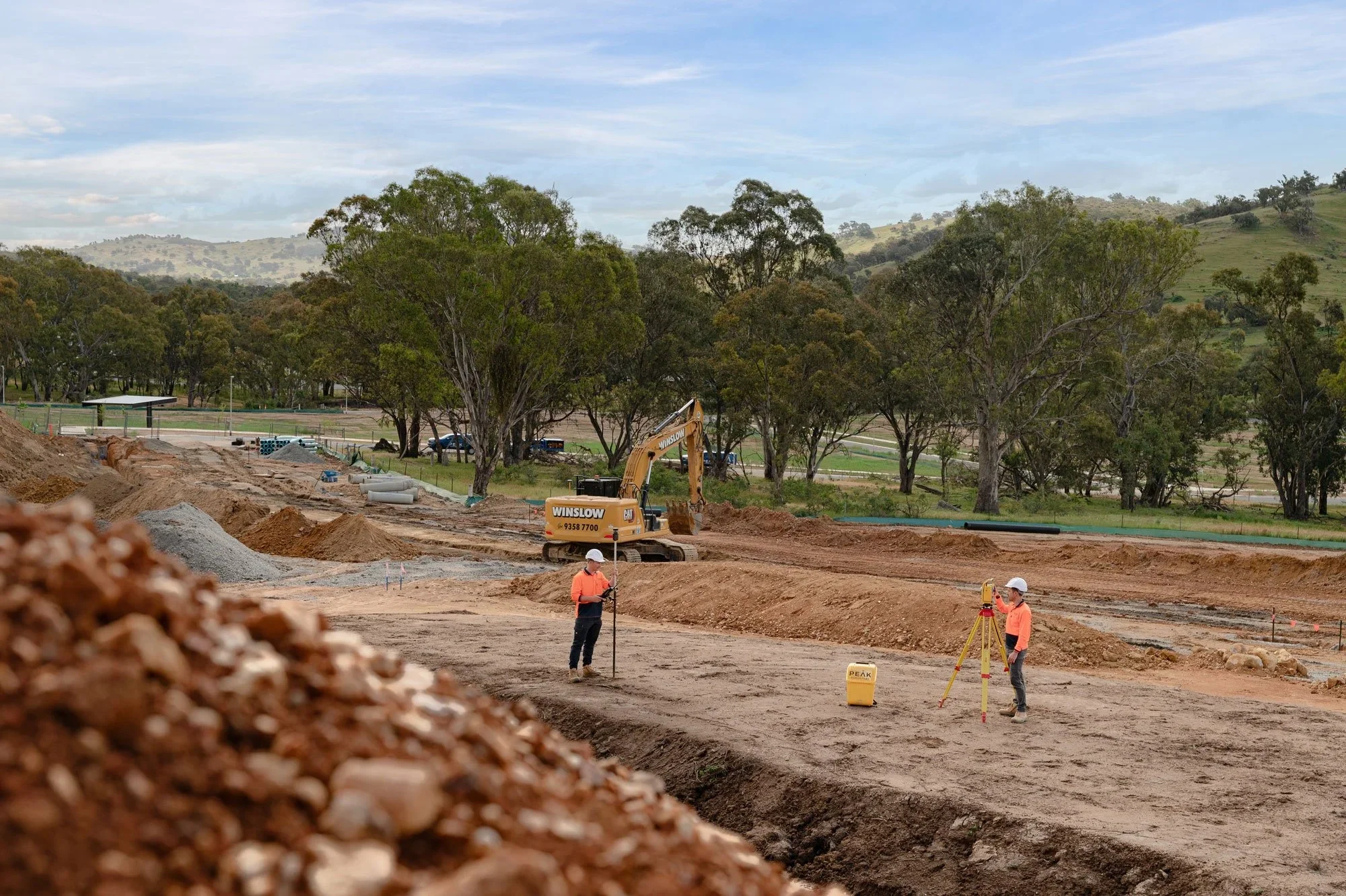
A feature and level survey, also known as a topographic survey or site survey, provides a comprehensive map of a property's existing physical characteristics. This includes both natural and man-made features such as structures, vegetation, services, and fencing, as well as ground topography including contours, spot heights, and levels.
Topographic surveying is a standard requirement for planning permits, development applications, construction projects, and civil engineering design. It gives architects, engineers, and town planners an accurate picture of site conditions before design work begins. This reduces errors, avoids costly surprises, and supports better project outcomes from the start.
Peak Surveyors provides professional feature and level survey services across Albury, Wodonga, Wangaratta, Bright, and Wagga Wagga. As licensed land surveyors, we deliver topographic and feature survey data in formats ready for immediate use by your design and engineering team.
What’s included.
Our Feature and Level Survey Services
01Feature Survey
Mapping of all significant site features, including buildings, fences, trees with canopy and trunk location, driveways, kerbing, drainage infrastructure, above-ground services, and neighbouring structures where relevant. Delivered as a clear, layered plan ready for use by architects and planners across Albury, Wodonga, and the wider region.
02Level Survey
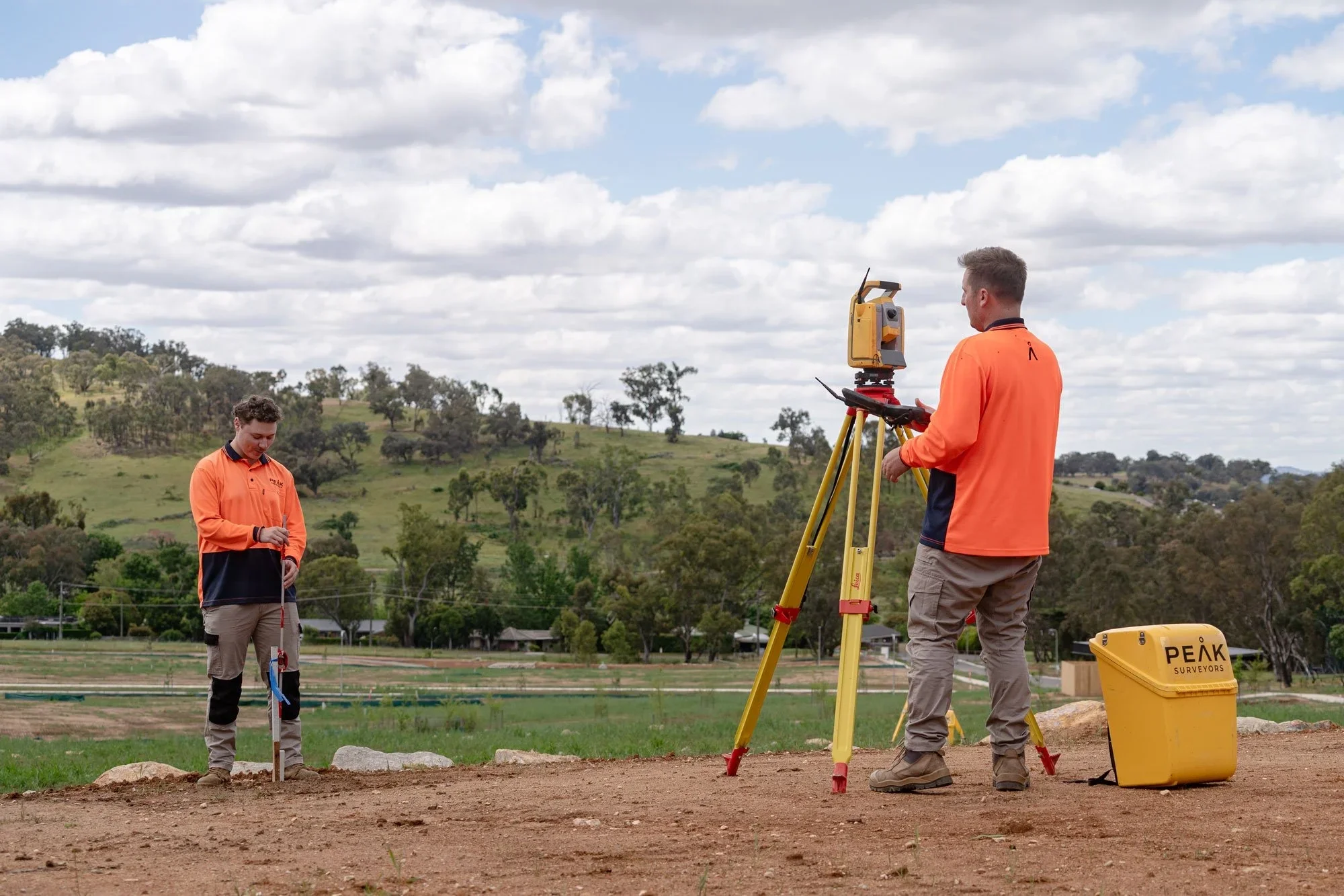
Capture of ground levels, spot heights, and contour lines across the property. This topographic data is essential for drainage design, earthworks planning, floor level determination, and civil engineering. Our level surveys are conducted by licensed surveyors and delivered to the accuracy your project requires.
03Combined Feature and Level Survey
The most common engagement. Both features and levels are captured in a single site visit and delivered in one coordinated plan. This is the standard requirement for most development applications and construction projects. Combining both into one survey saves time and reduces your overall project cost.
04Topographic Detail Survey
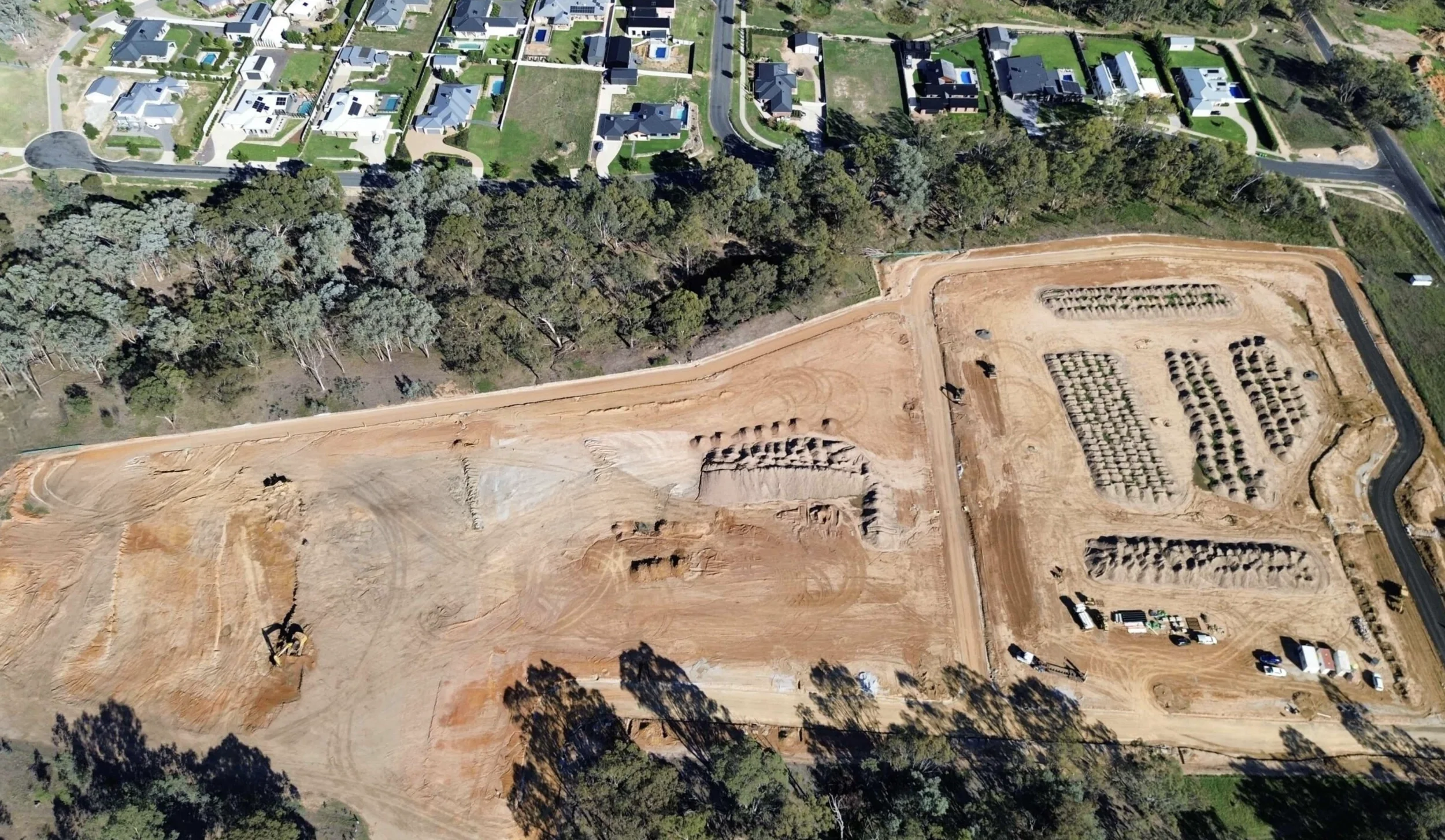
A topographical detail survey provides a comprehensive record of a site's physical characteristics at a level of detail suited to complex or large-scale projects. Commonly required for civil engineering, infrastructure planning, and subdivision design across regional NSW and Victoria.
05Boundary and Topographic Survey
Where both boundary definition and topographic data are required, we combine cadastral and topographic surveying into a single, integrated engagement. This approach is efficient for development projects where both legal boundary confirmation and site feature mapping are needed before design can proceed.
06Drainage and Services Mapping
Location and documentation of visible drainage infrastructure, stormwater pits, service indicators, and above-ground utility assets. We capture visible service indicators and record information as part of the survey scope.
07AutoCAD Deliverables

Survey data delivered in AutoCAD DWG format with clearly labelled layers, ready for use by architects, civil engineers, and planners in all major design platforms. PDF plans and other formats are available on request.
Our process.
How Our Feature and Level Survey Process Works
We keep it simple. No jargon, no unnecessary delays. You'll know what's happening at each stage and have a clear picture of when you'll receive your survey.
Project Briefing
We discuss your project requirements, the level of detail needed, and any specific features or areas of focus, such as drainage, tree locations, or service infrastructure. We tailor the survey scope to your project from the outset.

Title and Plan Research
We review your property title and any relevant survey plans to establish legal boundary context for the feature and level survey. We compile dial before you dig and accurate services information prior to site survey. This ensures the plan is accurate, complete and usable for development application and design purposes.

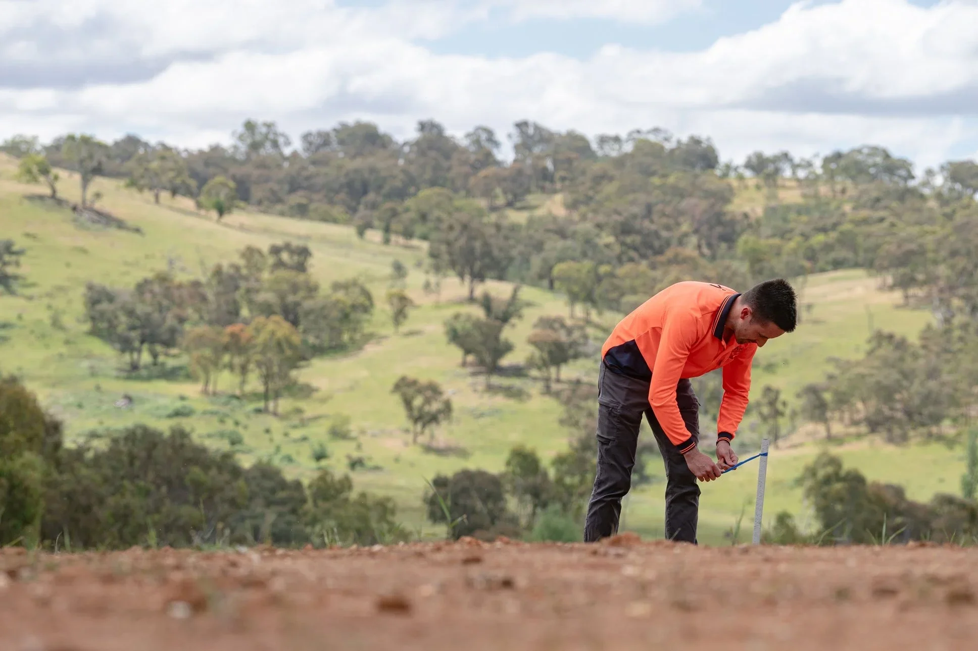
Field Survey
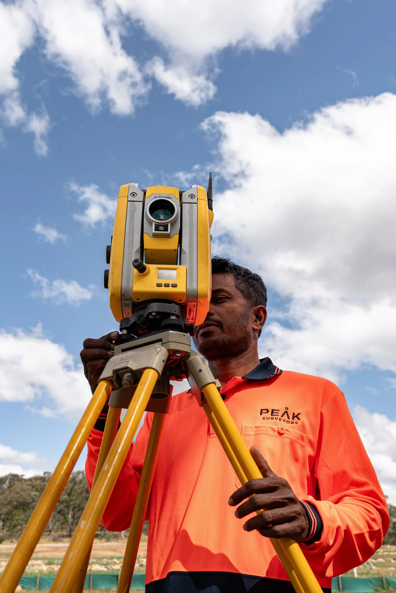
Our licensed surveyors conduct a systematic field survey of the property, capturing all features and ground levels within the agreed scope. All fieldwork is carried out using calibrated survey-grade equipment to the accuracy your project demands.
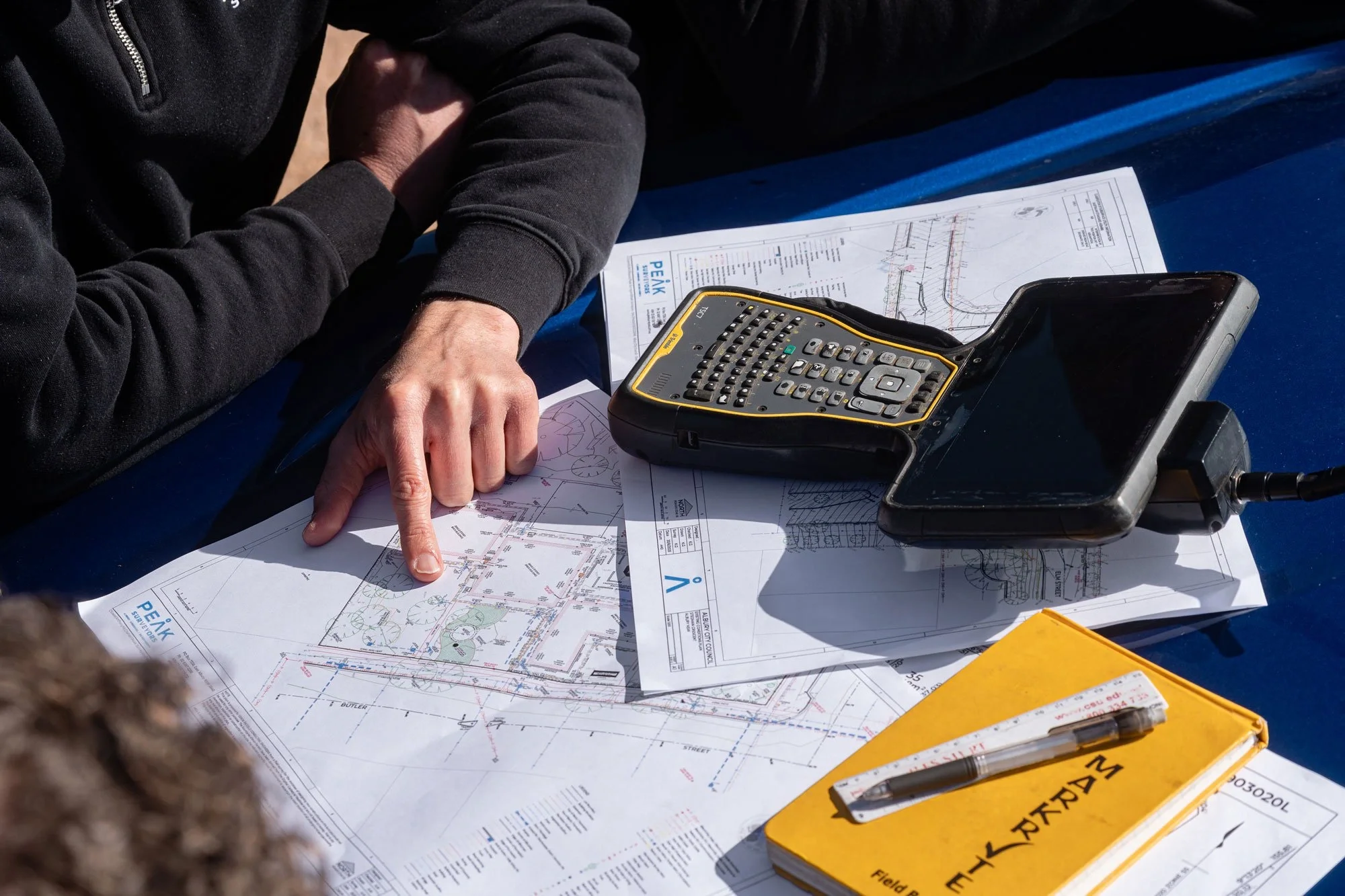
Plan Preparation
Survey data is processed and drafted into a clear, layered AutoCAD plan with features and levels presented to your specification. Every plan is quality-checked before delivery to ensure it meets the requirements of your council or design team.
Delivery and Review
The completed topographic survey is delivered in your required format. We are available to discuss the results with you or your consultants and can provide additional outputs if your project scope changes.

Precision. Passion.
Your partner in surveying.

Testimonials.
Kind words from our clients.
Peak Surveyors excel in precision and professionalism. Their top-notch surveying services, from boundaries to topography, are indispensable for any project. With their expertise, your home, business or development ventures are in capable hands. Accurate results and utmost reliability.
Robert Joyce
James and the team did an amazing job at Whitfield Primary School. Not only did they execute a tricky site and assist with developing expertise, they also took the time to teach the kids all about surveying and took pics of them for their use, using their specialised drones also!
Anna Pizini
Very pleased with Peak Surveyors! They were very patient with us and our subdivision. It took us 4 years to get completed due to Covid and other factors. Peak Surveyors kept helping and checking in along the way. Would highly recommend them, very easy going people
Joel Merkel
Questions we hear often about Feature and Level Survey
If something isn't covered here, call us directly — we're always happy to talk through your project and what's involved.
-
A standard feature and level survey typically includes existing structures, fences, trees with trunk and canopy location, driveways, kerbing, drainage infrastructure, visible services, ground contours, and spot heights. Peak Surveyors tailors the scope to your specific project and council requirements.
-
In most cases, yes. Councils typically require a feature and level survey as part of the DA or permit documentation package. Requirements vary between councils, and we can advise on what your specific council requires before you submit.
-
A topographic survey captures the ground levels, contours, and elevation data of a site. A feature survey maps the physical objects and structures on the site. In practice, most projects require both, which is why a combined feature and level survey is the standard engagement. The terms topographic survey and feature and level survey are often used interchangeably.
-
A topographical detail survey is a comprehensive site survey that records both physical features and ground levels at a higher level of detail, suited to complex or large-scale projects. It is commonly required for civil engineering, infrastructure planning, and subdivision design across regional NSW and Victoria.
-
We deliver in AutoCAD DWG as standard, with clearly labelled layers. PDF plans and other formats are available on request. Deliverable formats are confirmed at the project briefing stage to ensure compatibility with your design software.
-
Peak Surveyors provides feature and level survey and topographic surveying services across Albury, Wodonga, Wangaratta, Bright, Wagga Wagga, and the surrounding regional corridor across southern NSW and northeast Victoria. Contact us to discuss your site and project requirements.
Get in touch
Tell us about your project
Fill in the form with your project details and we'll come back to you with a clear, fixed quote — typically within one business day.
Areas we serve.
We work across the Albury Wodonga region and surrounding towns on both sides of the Murray River.