
HomeTitle Boundary & Cadastral Surveys.
Licensed Boundary & Cadastral Survey Services in NSW and Victoria
Title Boundary & Cadastral Surveys.
Precise title boundary and cadastral surveys that define, protect, and confirm your legal ownership of title. Serving Albury-Wodonga, Wangaratta, Bright, Wagga Wagga, and surrounding regions across NSW and Victoria.
The basics.
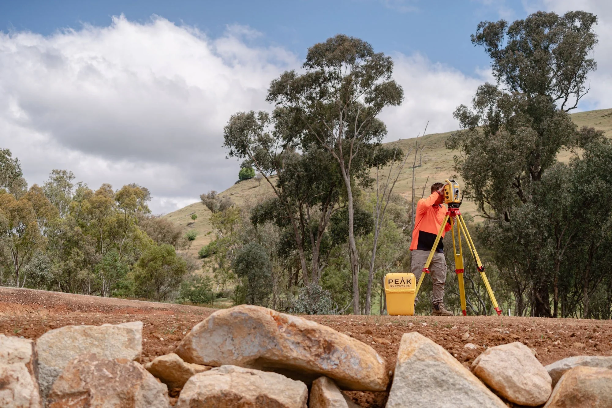
What Is a Cadastral or Title Boundary Survey?
A cadastral survey defines and records the legal boundaries of a land parcel based on the registered title and historical survey records. It is the foundation of the entire Australian property system, underpinning land ownership, transactions, planning approvals, and dispute resolution.
A title boundary survey determines the precise location of your property's legal boundaries on the ground. The results are documented in a survey plan that can be lodged with the relevant land registry for legal registration, giving landowners, buyers, and developers a clear, legally standing record of where their boundaries lie.
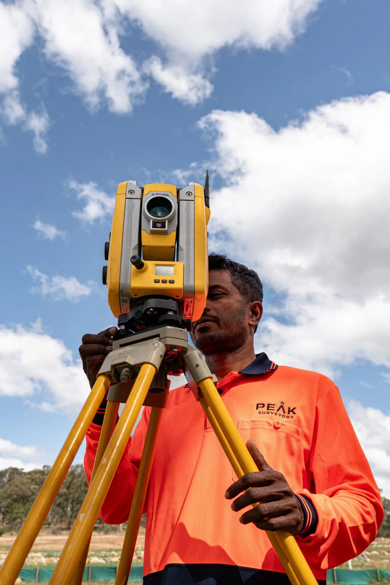
Peak Surveyors is a licensed cadastral surveyor operating across both NSW and Victoria, with 17 years of experience delivering boundary and cadastral land surveys for residential, rural, and commercial properties throughout Albury, Wodonga, Wangaratta, Bright, Wagga Wagga, and the wider regional corridor.
If you need a boundary identification survey before settlement, a cadastral boundary survey for development, or an independent determination of a disputed boundary, we manage the entire process from title research through to plan lodgement and marking of boundaries.
What’s included.
Our Title Boundary & Cadastral Survey Services
01Title Boundary Surveys
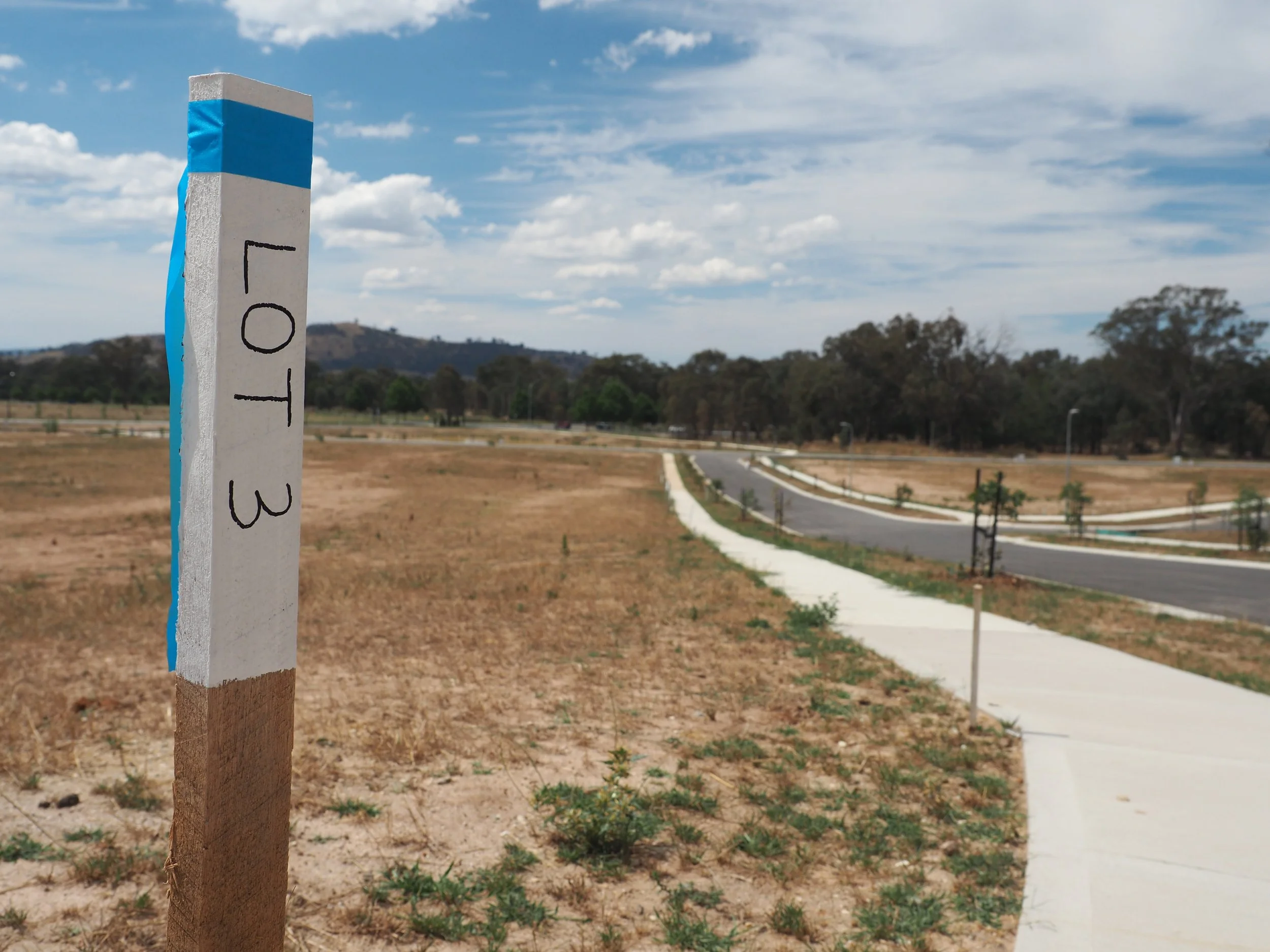
Precise on-ground determination of your property's legal boundary positions, based on the registered title and historical survey evidence. Boundary marks are placed or confirmed where required, giving you a clear, documented record of your property's legal extent.
02Boundary Identification Surveys
A boundary identification survey confirms the location of your property boundaries on the ground before construction, fencing, renovation, or sale. It provides landowners with confidence that structures and improvements are correctly positioned within the title, and it’s one of the most common surveys requested by property owners and conveyancers across the region.
03Cadastral Plan Preparation
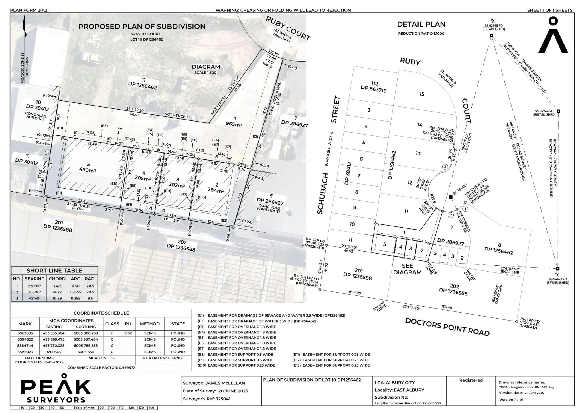
Preparation of survey plans suitable for lodgement with NSW Land Registry Services or Land Use Victoria, meeting all legislative and accuracy requirements of the relevant state. As a licensed cadastral surveyor, Peak Surveyors manages the full plan preparation and lodgement process on your behalf.
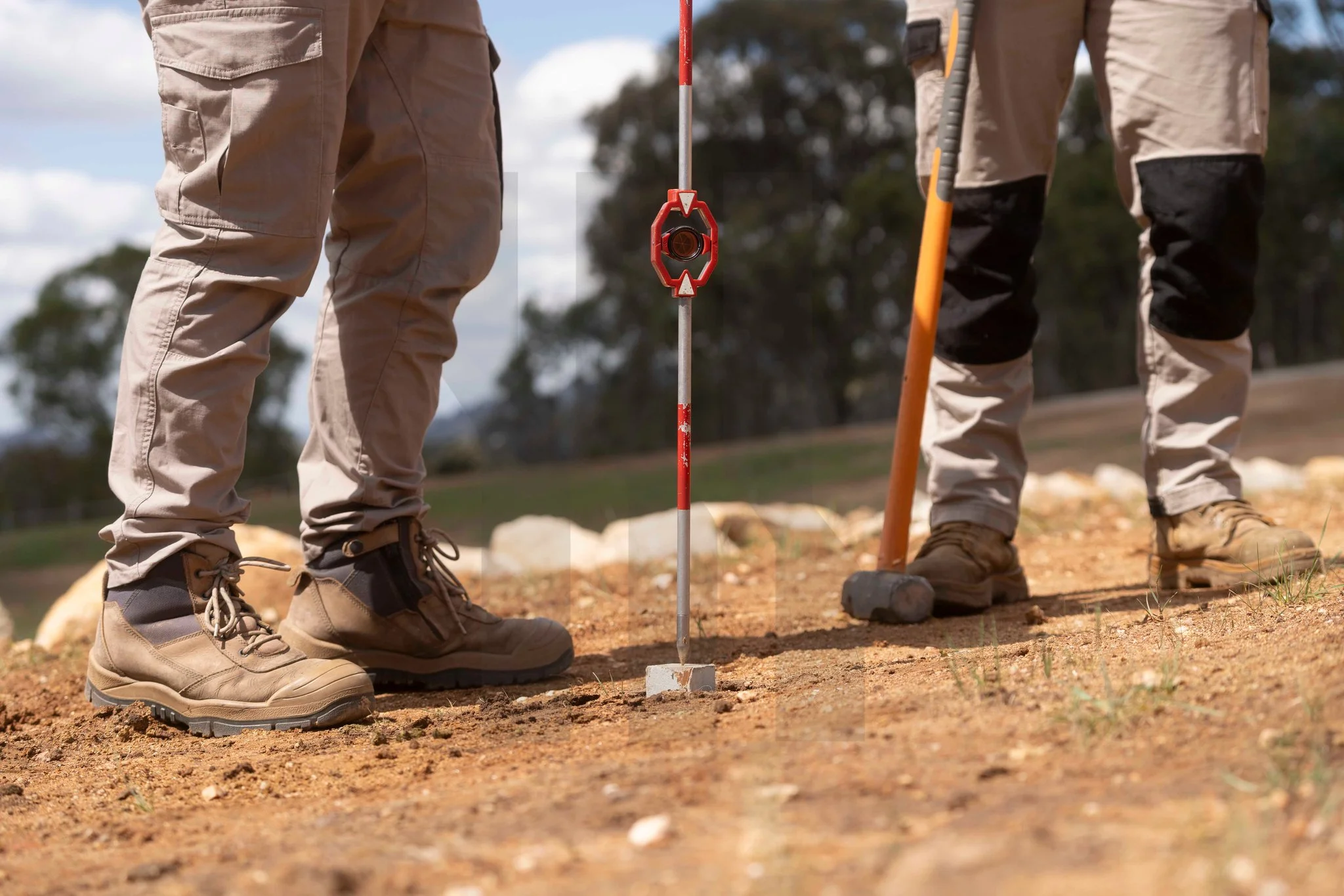
04Re-establishment of Lost or Disturbed Boundaries
Where boundary marks have been disturbed, removed, or lost over time, we research historical records and conduct detailed fieldwork to re-establish their correct legal position. This service is particularly common in older rural and peri-urban properties.
05Boundary Dispute Resolution
Independent, evidence-based determination of boundary positions to support resolution of disputes between neighbouring property owners. As experienced land surveyors for boundary disputes, Peak Surveyors provides clear, professionally prepared survey evidence that can be relied upon in negotiation, mediation, or legal proceedings.
06Pre-Purchase Boundary Identification
Confirmation of boundary positions prior to property settlement gives buyers confidence that fences, structures, and improvements are correctly located within the title. An essential step for rural and semi-rural purchases, where boundary marks may be difficult to locate or verify without professional assistance.

Our process.
How Our Cadastral Survey Process Works
We keep it simple. No jargon, no unnecessary delays. You'll know what's happening at each stage and have a clear picture of when you'll receive your survey.
Title and Plan Research
We obtain and analyse your Certificate of Title, deposited plans, and historical survey records to understand the registered boundaries and any relevant easements or encumbrances. Thorough research at this stage is what ensures the boundary determination is legally defensible and accurately reflects the registered title.
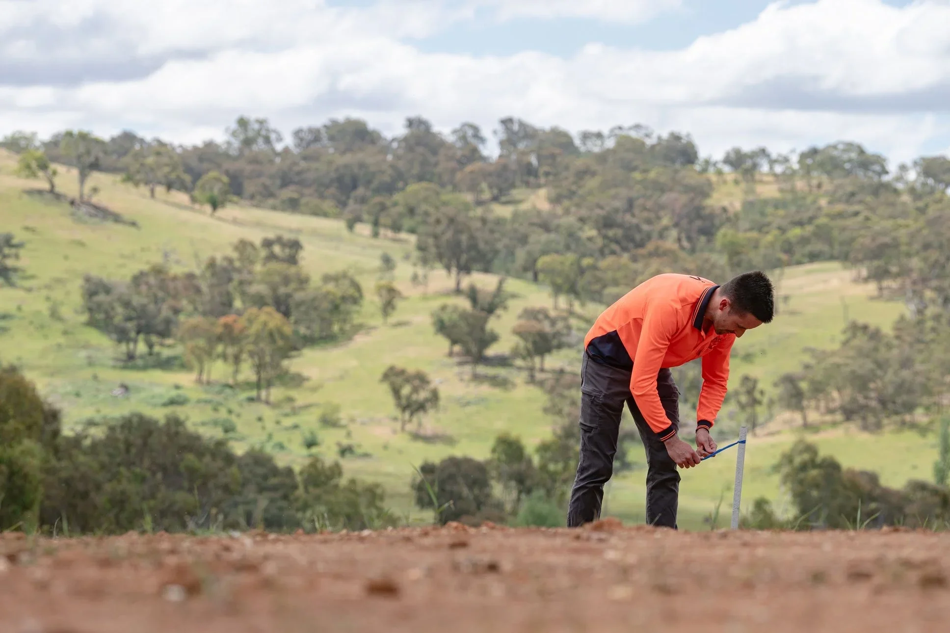
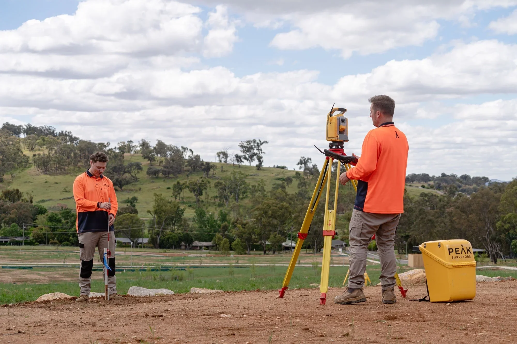
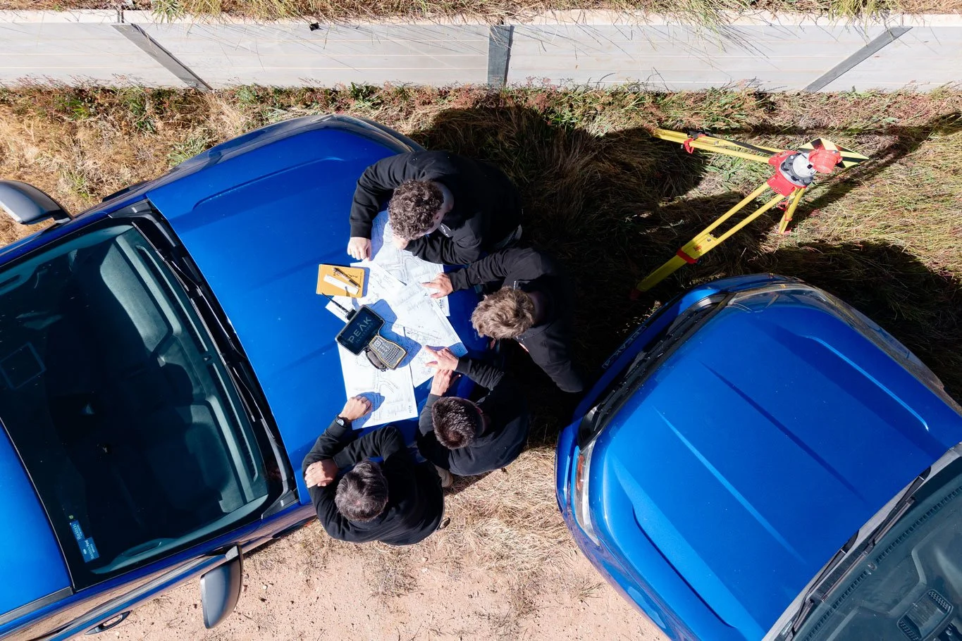
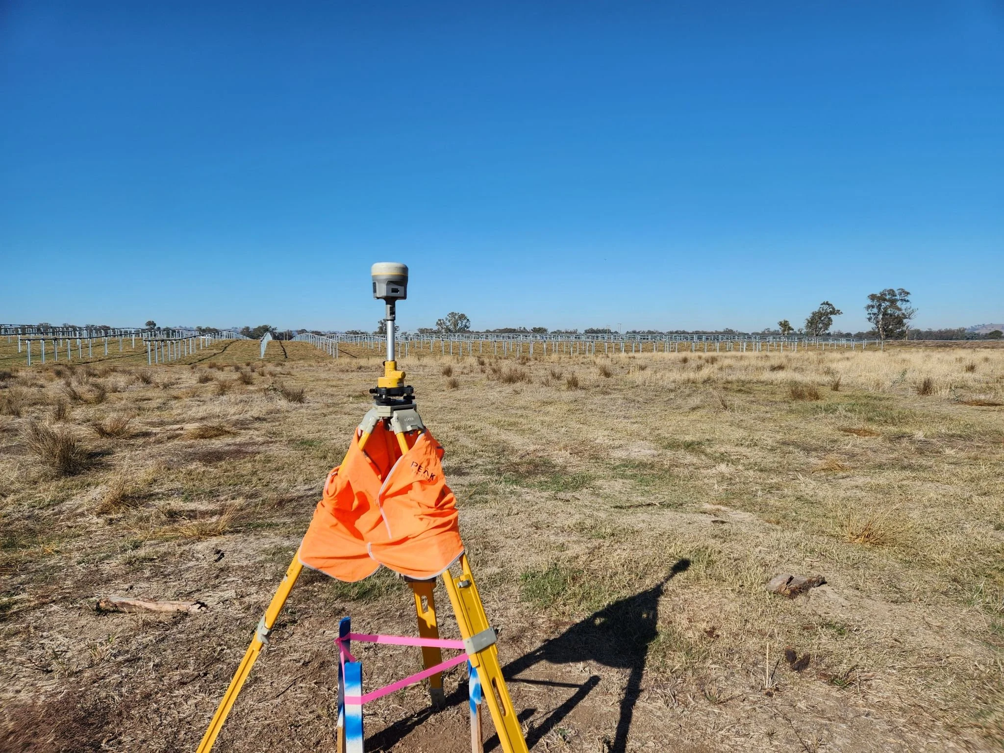
Field Survey
Our licensed cadastral surveyors conduct a precise field survey across your property, locating existing boundary marks and measuring from reference points to determine the correct boundary positions.

Boundary Determination
We calculate the legal boundary positions based on the field evidence and registered title information, in full accordance with the relevant state survey regulations under the NSW Surveying and Spatial Information Regulations or Victorian cadastral survey legislation.
Marking and Documentation
Boundary marks are placed or confirmed on the ground where required. A survey plan is prepared documenting the boundary positions, methodology, and supporting evidence. All documentation meets the standards required by NSW Land Registry Services or Land Use Victoria.
Plan Lodgement
Where required, the completed cadastral survey plan is lodged with the relevant land registry for registration and inclusion in the official cadastral record. We manage the lodgement process in both states and keep you informed throughout.

Precision. Passion.
Your partner in surveying.

Testimonials.
Kind words from our clients.
Peak Surveyors excel in precision and professionalism. Their top-notch surveying services, from boundaries to topography, are indispensable for any project. With their expertise, your home, business or development ventures are in capable hands. Accurate results and utmost reliability.
Robert Joyce
James and the team did an amazing job at Whitfield Primary School. Not only did they execute a tricky site and assist with developing expertise, they also took the time to teach the kids all about surveying and took pics of them for their use, using their specialised drones also!
Anna Pizini
Very pleased with Peak Surveyors! They were very patient with us and our subdivision. It took us 4 years to get completed due to Covid and other factors. Peak Surveyors kept helping and checking in along the way. Would highly recommend them, very easy going people
Joel Merkel
Questions we hear often about Title Boundary & Cadastral Survey
If something isn't covered here, call us directly — we're always happy to talk through your project and what's involved.
-
A boundary identification survey is a professional survey that locates and marks the legal boundaries of a property on the ground. It is commonly requested before building, fencing, landscaping, or purchasing property to confirm that existing or planned structures are correctly positioned within the title boundaries. Peak Surveyors provides boundary identification surveys across Albury, Wodonga, Wangaratta, Bright, and Wagga Wagga.
-
A title boundary survey legally defines your property boundaries based on the registered title and survey evidence. A feature survey maps the physical characteristics of a site such as structures, trees, services and ground levels, but does not establish legal boundaries. Both are commonly required for development and construction projects and are often completed together.
-
Yes. A licensed cadastral surveyor provides independent, evidence-based determination of boundary positions that can be relied upon in negotiations, mediation, or legal proceedings. Peak Surveyors has extensive experience as land surveyors for boundary disputes across NSW and Victoria and can provide professionally prepared survey evidence to support resolution.
-
Not usually. Our licensed surveyors can access and survey your property without you on site. We will keep you informed throughout the process and contact you if access arrangements or site conditions require your input.
-
Most residential title boundary surveys are completed within a few weeks of engagement. Timelines vary depending on the complexity of the title history, the size and location of the property, and land registry processing times. We provide a realistic timeframe at the outset so you can plan accordingly.
-
Peak Surveyors provides cadastral surveying and title boundary survey services across Albury, Wodonga, Wangaratta, Bright, Wagga Wagga, and surrounding areas throughout regional NSW and northeast Victoria. Contact us to discuss your property location and survey requirements.
Get in touch
Tell us about your project
Fill in the form with your project details and we'll come back to you with a clear, fixed quote — typically within one business day.
Areas we serve.
We work across the Albury Wodonga region and surrounding towns on both sides of the Murray River.