
Meridian Rise Estate
An expansive residential development creating more homes for Wodonga, Victoria.
What This Project Is About
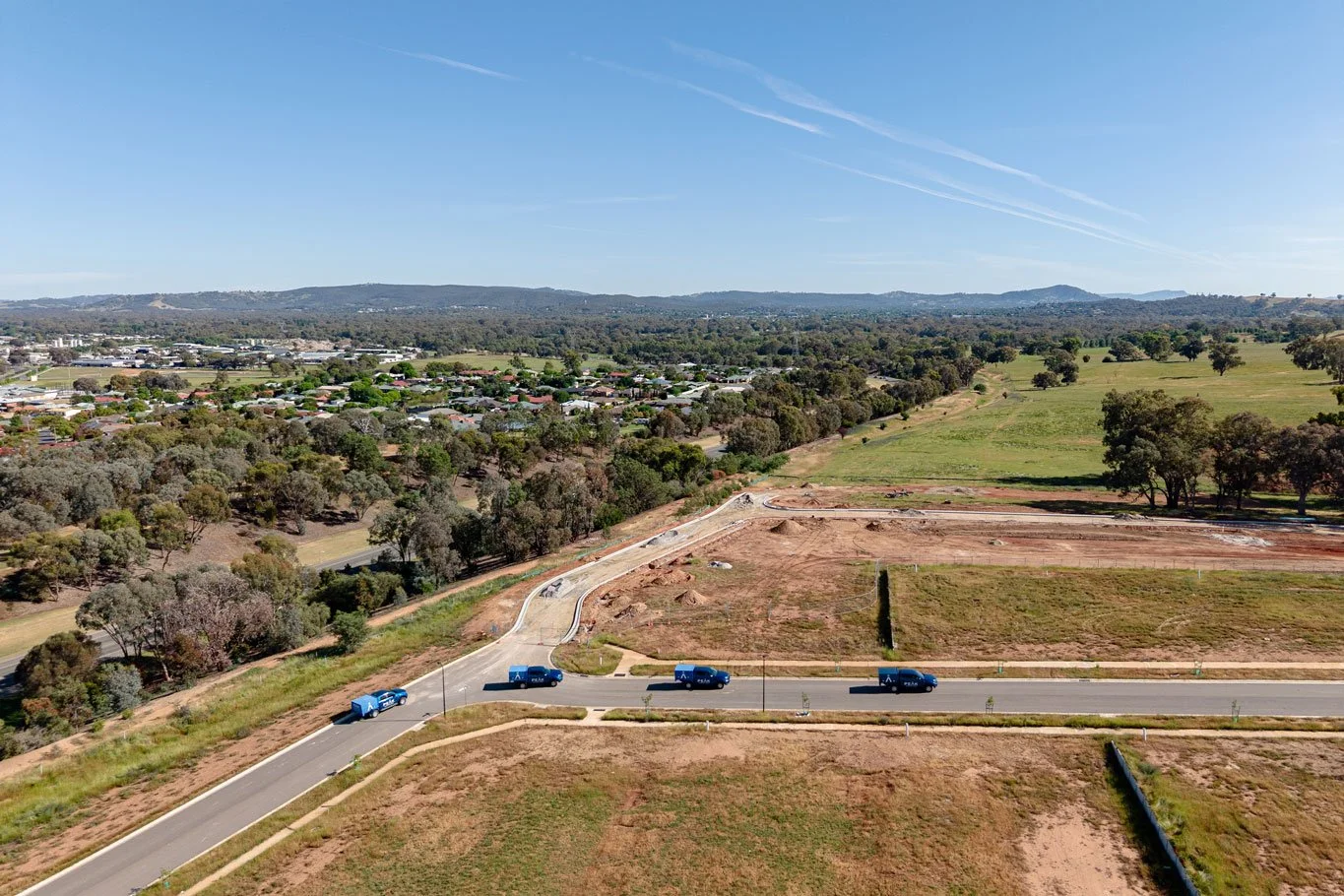
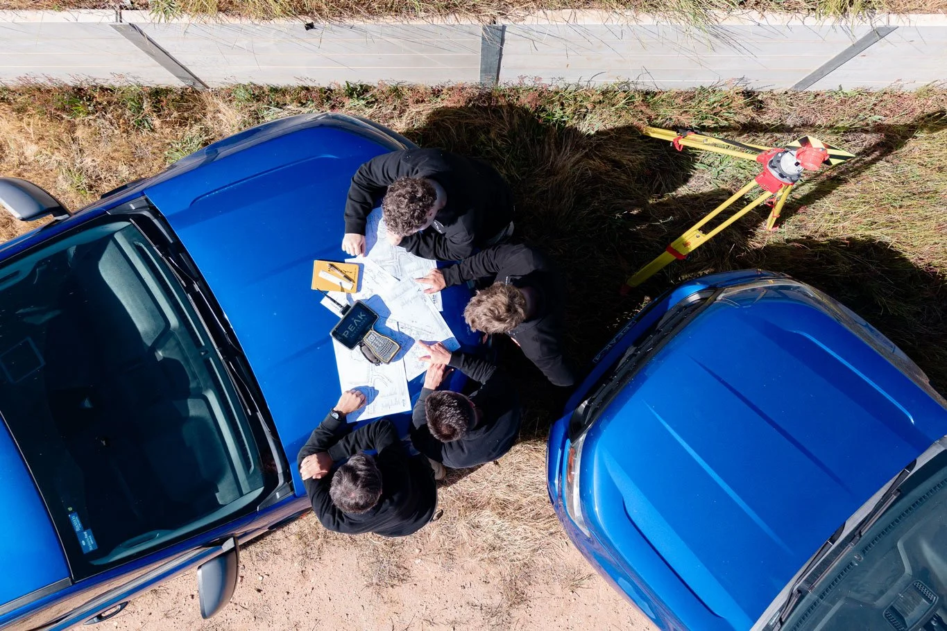
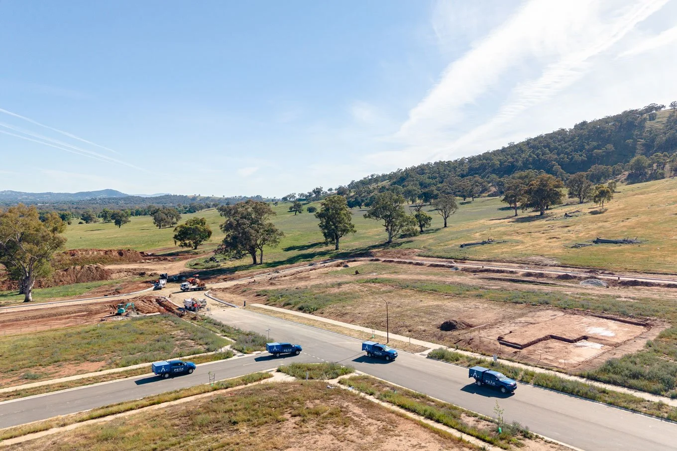
Meridian Rise Estate is a multi-stage residential land subdivision in Wodonga, Victoria, with each stage releasing between 30 and 40 residential lots. Peak Surveyors was engaged to manage the full surveying scope across all stages, from initial boundary definition and feature surveying through to as-constructed surveys and final title submissions.
The Challenge
The project presented several layers of complexity beyond a standard subdivision. It required coordinating with adjoining landholders to re-align boundaries and unlock additional developable land, as well as closing and deviating an old Government Road through liaison with local council and state government. Property boundaries needed precise re-establishment and careful overlaying with feature survey data and high-resolution drone LiDAR imagery. Peak Surveyors also managed all as-constructed data approvals, including D-SPEC submissions, through to formal sign-off with the relevant authorities.
The Outcome
Peak Surveyors has been actively involved in Meridian Rise Estate since 2018. Five stages have been completed with lots now sold, and a further two stages are pending council certification before construction can commence. The developer has retained Peak Surveyors for all future stages, reflecting the strong working relationship built over the life of this long-term project.
SERVICES DELIVEREDFeature & level survey
To support planning permit approvals process.
Title boundary definition
To accurately fix external property boundaries for lot design and functional layouts.
Civil engineering survey
To inform accurate stormwater drainage outflows and overall servicing strategy of the project site.
Aerial drone LiDAR mapping
To capture tree canopy extents for arborist reporting, peripheral site contours and elevation mapping & high resolution imagery of the site.
Government Road closure and land exchange
Involving council, state government and related parties to free up developable area for the project site.
Plans of subdivision
For titling various stages releases.
Easement creations
For as-built and proposed assets.
Reserve creations
For electrical sub-station kiosk reserves and parkland spaces.
Set-out and boundary marking
For lots.
As-constructed surveys
For submission to local authorities, including D-SPEC and A-SPEC data submissions.
Site surveys
For finalised lots to inform accurate building design.
VIEW OTHER CASE STUDIES