

Leneva Valley Estate
A major, staged residential land subdivision in Wodonga, Victoria.
What This Project Is About
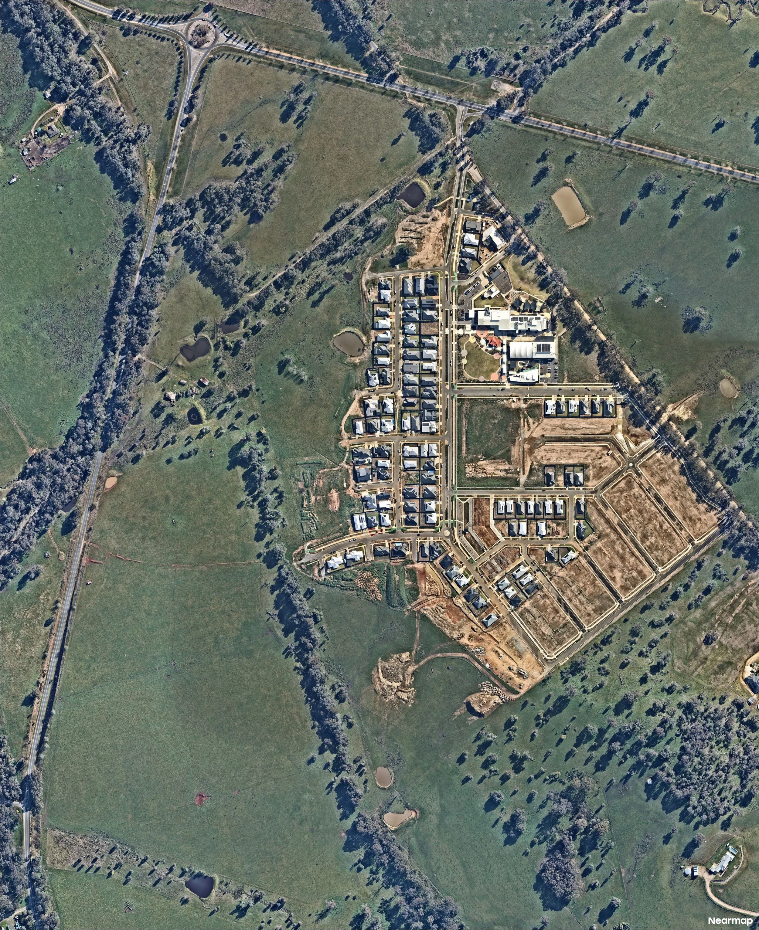
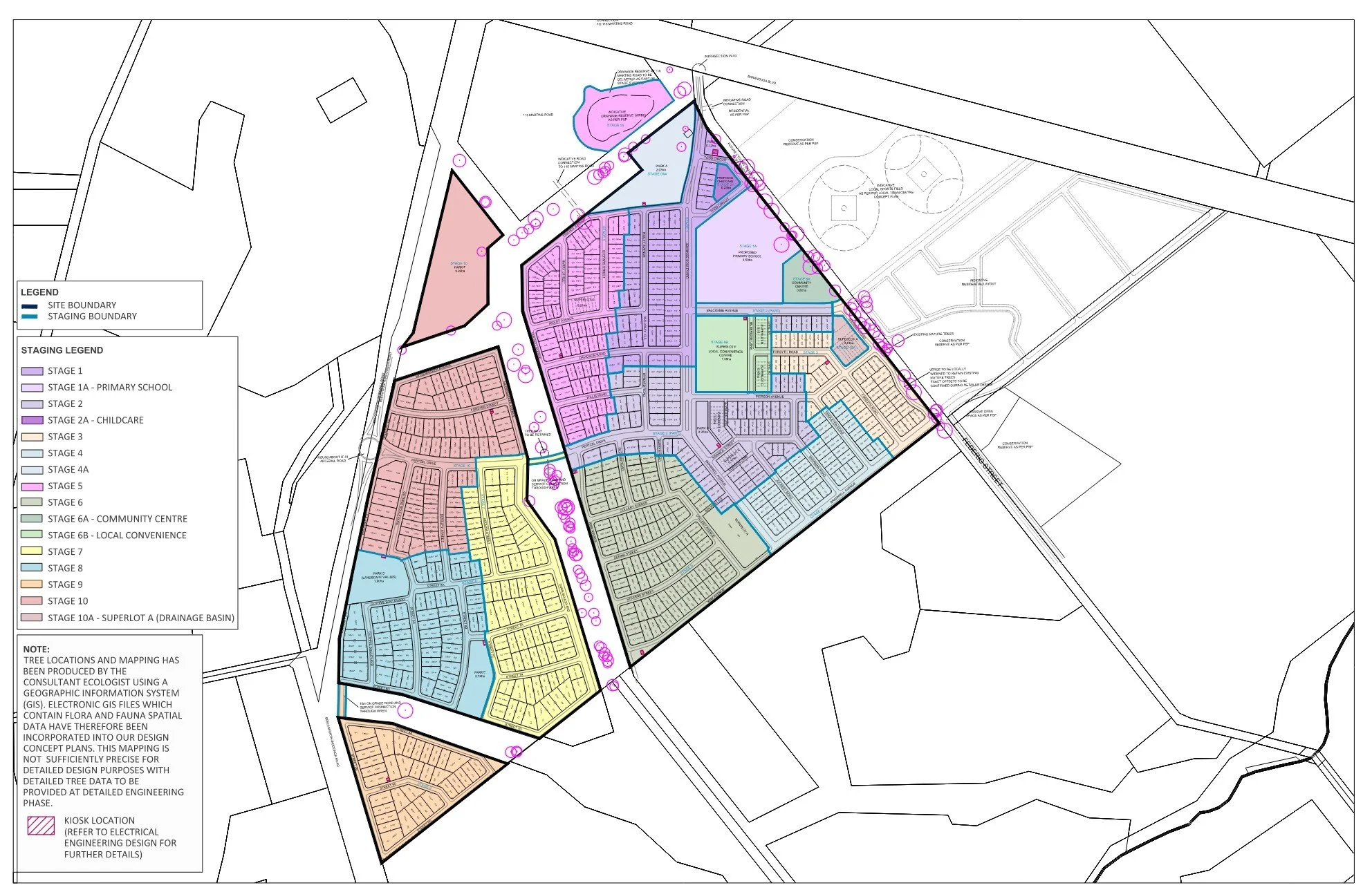
Leneva Valley Estate is a major staged residential land subdivision in Wodonga, Victoria. Planned to release approximately 500 residential lots in stages over the next 8 to 10 years, this is a long-term, multi-phase development that demands consistent, high-quality surveying support at every step. Peak Surveyors was engaged to deliver a complete, end-to-end land surveying service, from the initial site survey and development planning through to construction, subdivision certification, and the creation of new residential titles.
The Challenge
Staged subdivisions of this scale come with layers of complexity that need to be carefully managed from day one. With around 500 lots to be delivered over nearly a decade, one of the core challenges was establishing accurate survey control across the entire development to give every future stage a reliable and consistent spatial framework to build from.
Beyond that, each stage required detailed feature and level surveys, title boundary definitions, and cadastral investigations to support subdivision planning and civil engineering design. At the same time, close coordination with the developer, civil engineers, town planners, contractors, council, and servicing authorities was essential to catch surveying and title issues early, before they had the chance to create delays or cost overruns downstream.
The Outcome
Peak Surveyors continues to provide ongoing surveying support as Leneva Valley Estate takes shape, stage by stage. Plans of subdivision, easement documentation, and all associated survey records are prepared to the standard required for council certification and registration with Land Use Victoria.
By maintaining accurate survey control across the full development and staying closely coordinated with all project stakeholders, the team helps keep each stage on track, from the earliest planning work through to the creation of new residential titles. It's the kind of long-term, end-to-end partnership that makes a real difference on a project of this size and duration.
SERVICESFeature & level survey
To support subdivision planning and civil engineering design.
Title boundary definition
To accurately fix external property boundaries for lot design and functional layouts.
Cadastral investigations
To identify title issues early and support subdivision planning.
Survey control
To provide a consistent spatial framework across each stage of the development.
Plans of subdivision
For council certification and registration with Land Use Victoria.
Easement documentation
For council certification and registration of each stage.
As-constructed surveys
To confirm completed works satisfy approved designs and authority requirements.
VIEW OTHER CASE STUDIES