
3D Laser Scanning or Traditional Surveying: Which Is Right for Your Project?
Key Points:
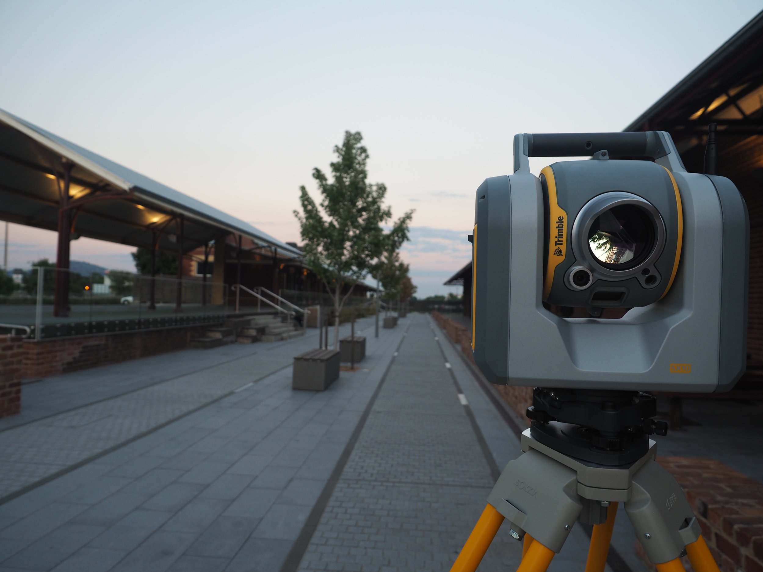
Traditional surveying uses precision instruments like total stations and GNSS receivers to capture accurate measurements one point at a time.
3D laser scanning for land surveying captures millions of data points per second, making it ideal for large, complex, or detailed projects.
A hybrid approach combining both methods delivers maximum efficiency and accuracy on projects that require it.
Peak Surveyors provides 3D laser scanning survey services and traditional land surveying services across regional New South Wales and Victoria.
Summary:
Traditional surveying and 3D laser scanning each have clear strengths, and the right choice depends on your project's size, complexity, and goals. Laser scanning delivers speed and rich 3D data for large or intricate sites, while traditional land surveying services remain the go-to for boundary and cadastral work. Peak Surveyors offers both methods across Albury-Wodonga, Wagga Wagga, Bright, and Wangaratta.
Outline:
When it comes to mapping land, measuring structures, or preparing for construction, choosing the right surveying method can make a significant difference to your project's outcome. The two main options available today are traditional surveying and 3D laser scanning, and both bring real value depending on what you need.
This article breaks down how each method works, what it is best suited for, and how combining the two can deliver even stronger results. If you’re planning a straightforward boundary survey or a large-scale civil project, Peak Surveyors can help you identify the right approach from the start.
What Is Traditional Surveying?
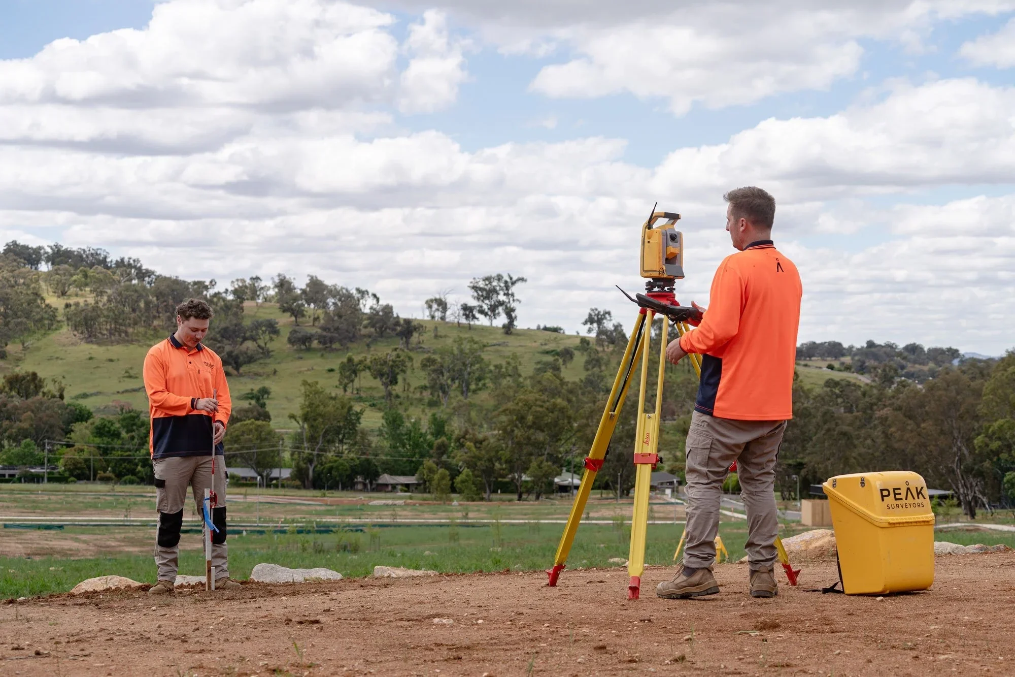
Traditional surveying refers to established methods of measuring and mapping land using precision instruments that capture data one point at a time. A licensed land surveyor visits the site, sets up equipment, takes measurements at specific locations, and compiles the results into plans, reports, and drawings.
Key instruments used in traditional surveying include:
Total Stations: The most widely used tool for fieldwork. A total station combines an electronic theodolite with a distance meter, measuring both angles and distances from a single setup. Modern units are highly accurate and store data digitally.
Theodolites: Measure horizontal and vertical angles with high precision. While mostly replaced by total stations in everyday practice, they form the basis of how angular measurements work.
GPS/GNSS Receivers: Use satellite signals to determine positions with centimetre-level accuracy. These are ideal for establishing control points, covering large areas, and connecting local surveys to national coordinate systems such as MGA2020/GDA2020 or Australian Height Datum (AHD).
Levelling Instruments: Automatic and digital levels measure height differences between points, which is essential for elevation and contour data.
What Is Traditional Surveying Used For?
Traditional land surveying services are well-suited to boundary surveys, topographic surveys that map the contours of land, and construction staking, which involves marking out where buildings or infrastructure will be placed. These methods work particularly well for smaller or more straightforward projects.
Benefits of Traditional Surveying
Highly accurate for linear and angular measurements
Cost-effective for small-scale or simple projects
Widely accepted by councils, lawyers, and planning authorities
Ideal for cadastral and boundary surveys
What Is 3D Laser Scanning?
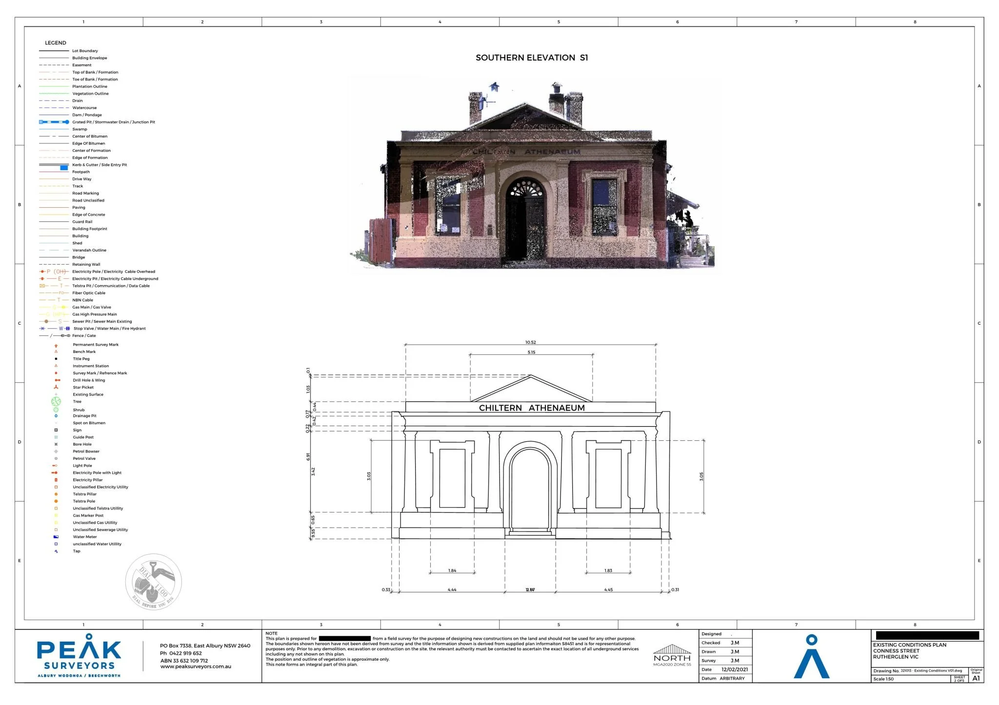
3D laser scanning, also known as LiDAR (Light Detection and Ranging), is a modern surveying technique that captures the shape and geometry of physical environments. It works by emitting rapid pulses of laser light and measuring how long each pulse takes to bounce back from surrounding surfaces.
Unlike traditional methods that record individual points one at a time, a 3D scanner captures millions of data points per second. Each point is assigned its own X, Y, and Z coordinates, along with intensity and sometimes colour data. After capture, the scans are aligned and merged using processing software in a step known as registration. Noise and unwanted objects are cleaned out, leaving a seamless 3D dataset that can be measured and explored from any angle.
Types of 3D laser scanners:
Terrestrial (Static) Scanners: Tripod-mounted units that capture highly detailed scans from a fixed position. Best suited to buildings, interiors, infrastructure, and heritage sites.
Mobile Scanners: Handheld or vehicle-mounted units that capture data while moving. Fast and efficient for corridors, streetscapes, and large indoor spaces.
Aerial Scanners (Drone-Mounted LiDAR): LiDAR sensors mounted on drones capture topographic data from above. Ideal for large sites, rough terrain, and areas with thick vegetation.
What Is 3D Laser Scanning Used For?
3D laser scanning survey services are widely used in construction, civil engineering, and conservation. They are particularly useful for recording "as-built" conditions, meaning what a site or structure actually looks like compared to what the original plans show. A 3D scan site survey is also valuable for mapping complex structures, capturing existing conditions before renovation, and identifying design clashes early in a project.
Benefits of 3D Laser Scanning
Speed and Efficiency
Captures vast amounts of data in minutes
Ideal for large or complex projects where traditional methods would take considerably longer
Extreme Detail
Produces a rich 3D dataset that can be revisited later for additional measurements
Supports clash detection during design and construction
Safety
Reduces the need for physical access to hazardous or hard-to-reach areas
Reduced Rework
Helps identify design inconsistencies early, reducing costly on-site corrections
Which One Should You Choose?
Both methods have an important role in modern surveying. The right choice depends on the size and complexity of your project.
When to Choose 3D Laser Scanning
3D laser scanning for topographic surveys and other large-scale projects delivers exceptional results. If you are working on a construction site where you need to map existing structures or terrain across a wide area, 3D laser scanning for land surveying gives you the detail and speed you need. It is particularly well-suited to projects where precision modelling, clash detection, or as-built documentation is required.
When to Choose Traditional Surveying
Traditional methods are the better fit for smaller, more straightforward projects. If you need a boundary survey or are marking out the layout for a modest construction project, traditional tools like total stations and GNSS receivers are cost-effective and provide all the accuracy required. For these types of jobs, a licensed land surveyor using established techniques can deliver reliable, authoritative results quickly and efficiently.
The Hybrid Approach Works: Combining Traditional Surveying and 3D Laser Scanning
In many cases, the most effective solution is not one method or the other, but both.
A hybrid approach uses 3D laser scanning to quickly capture data across a large site, while traditional surveying is used to pinpoint and verify specific locations or boundaries. This combination lets you take advantage of the speed and detail of laser scanning alongside the precision and legal standing of traditional methods.
For example, on a complex civil project, scanning can rapidly document existing site conditions, while a licensed land surveyor handles the cadastral or boundary work with the tools and authority required for those specific tasks. The result is a workflow that is both efficient and thorough.
Accurate Land Surveying at Peak Surveyors
Choosing between traditional surveying and 3D laser scanning comes down to the size, complexity, and specific requirements of your project. Laser scanning offers fast, detailed data collection that suits large or intricate sites. Traditional methods provide cost-effective, precise measurements for smaller or simpler jobs. And for projects that benefit from both, a hybrid approach delivers the best of each.
At Peak Surveyors, we offer a full range of land surveying services, including 3D laser scanning survey services and traditional surveying solutions. Our experienced team works across Albury-Wodonga, Wagga Wagga, Bright, and Wangaratta, and we are here to help you choose the right approach for your project from the outset.
Ready to get started? Contact Peak Surveyors today to discuss your project and request a survey. Our team will walk you through your options and make sure you have the right solution from day one.