
Understanding LiDAR Land Surveying and Aerial Drone Surveys
Key Points:
LiDAR technology measures time and distance using laser pulses sent from a highly specialised and calibrated sensor to a feature on the ground to create highly accurate 3D models and geospatial data of any environment.
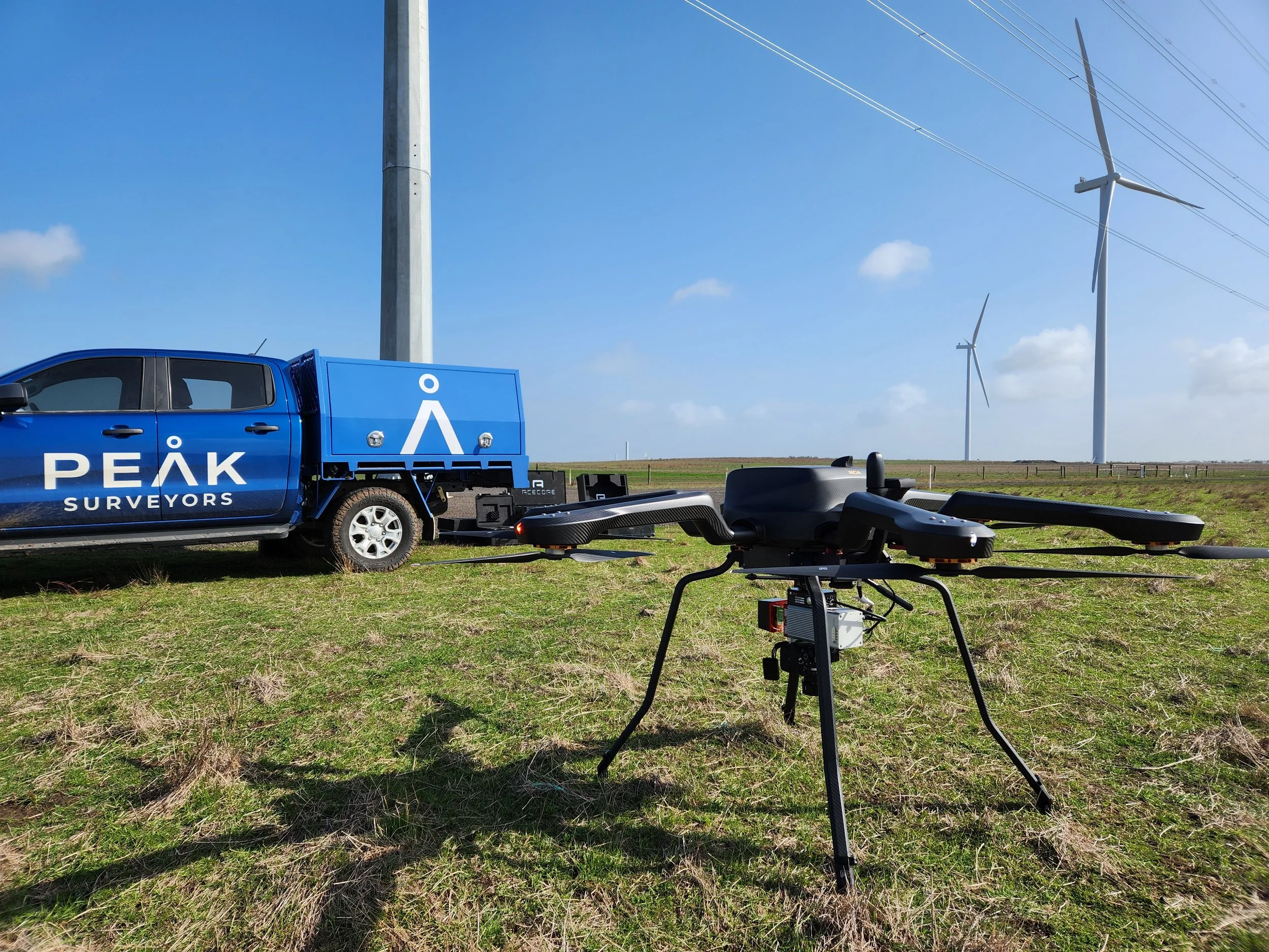
Drone-mounted LiDAR surveying captures millions of data points in a single flight, dramatically reducing the time needed to complete large-scale surveys.
LiDAR land surveying is available in both aerial and terrestrial forms, giving project teams a flexible solution suited to a wide range of site conditions.
Compared to traditional methods, LiDAR surveying services offer superior speed, accuracy, and versatility, including the ability to penetrate dense vegetation and operate in any light condition.
Summary:
LiDAR surveying is a laser-based measurement technology that captures millions of precise data points across large areas, producing accurate 3D models, terrain maps, and point clouds. Drone-mounted LiDAR surveying services take this capability further by covering vast sites in a single flight, delivering processed datasets that engineers, planners, and designers can use right away. Peak Surveyors offers professional LiDAR land surveying across Albury, Wodonga, Wangaratta, Bright, and Wagga Wagga, integrating aerial drone survey data directly into your project deliverables.
Outline:
Accurate site data is the foundation of every successful project. From construction and civil infrastructure to environmental management and land development, having a clear understanding of the terrain can save time, reduce risk, and improve decision-making from the start.
That is why more developers, engineers, councils, and landowners are turning to LiDAR surveying as a faster and more precise way to capture site information. Using advanced laser scanning technology mounted on drones or ground-based equipment, LiDAR surveys can gather detailed spatial data across large or complex areas in a fraction of the time required by traditional methods.
At Peak Surveyors, we provide professional lidar surveying services across regional NSW and Victoria, helping clients access reliable survey data that integrates directly into planning, design, and construction workflows.
What Is LiDAR?
LiDAR stands for Light Detection and Ranging. It is a remote sensing technology that measures distance using laser pulses.
The system works by sending thousands, or even millions, of laser pulses toward surfaces such as the ground, vegetation, buildings, or infrastructure. The sensor then measures the time it takes for each pulse to return. From this information, the system calculates highly accurate distances and creates detailed three-dimensional representations of the surveyed area
In simple terms, LiDAR allows surveyors to capture a highly detailed digital model of the landscape and surrounding features.
Modern lidar land surveying technology is capable of producing:
High-resolution terrain models
Digital elevation maps
Accurate contour data
Detailed point cloud datasets
Three-dimensional models of structures and landscapes
One of the major advantages of LiDAR technology is its positional accuracy. Every measured point is recorded with precise geographic coordinates, allowing engineers, planners, architects, and surveyors to understand exactly where features are located and how they relate spatially to surrounding objects.
How LiDAR Drone Surveying Works
Drone-based LiDAR surveying combines laser scanning technology with aerial drone platforms to efficiently capture large amounts of spatial data.
When mounted on a drone, LiDAR sensors can scan extensive areas during a single flight, collecting millions of measurement points across the site. This creates highly detailed terrain models and point cloud datasets that would take significantly longer to gather using traditional ground survey methods.
Many drone survey systems also include high-resolution cameras and multispectral sensors, allowing additional imagery and environmental data to be captured at the same time.
A typical lidar surveying workflow generally includes several stages:
Flight Planning and Site Preparation
Before the survey begins, the flight path is carefully planned to ensure accurate coverage of the site. Ground control points and base stations may also be set up to improve positioning accuracy.Aerial Data Collection
Once airborne, the LiDAR sensor emits hundreds of thousands of laser pulses every second to capture detailed measurements of the terrain, vegetation, buildings, and surrounding features. The technology can also penetrate vegetation canopy to collect ground data beneath trees and dense cover.Data Processing and Classification
After the flight, the point cloud data is processed, georeferenced, and classified into categories such as bare earth, vegetation, buildings, and infrastructure. The final dataset can then be used for terrain modelling, contour mapping, earthworks analysis, and broader project planning.
What are the Different Types of LiDAR-Based Surveys?
LiDAR technology can be deployed using several different survey methods depending on the project requirements, site conditions, and level of detail required.
Aerial LiDAR Surveys
In an aerial LiDAR survey, the laser scanner is mounted on an aircraft, helicopter, or drone. Drone-based aerial surveys are particularly popular because they can quickly cover large areas while safely accessing difficult terrain, steep landscapes, or remote locations.
Aerial LiDAR surveys are commonly used for:
Topographic mapping
Corridor mapping
Environmental monitoring
Flood modelling
Construction planning
Large rural property surveys
This approach delivers excellent efficiency and broad site coverage, making it ideal for projects that require fast turnaround times and detailed terrain information.
Terrestrial LiDAR Surveys
Terrestrial LiDAR surveys use ground-based laser scanners, also known as terrestrial laser scanners (TLS). These systems may be mounted on a tripod for static scanning, carried by surveyors, or installed on vehicles as part of mobile mapping systems.
Terrestrial scanning is often used when very high-detail measurements are required for structures, buildings, infrastructure assets, or confined environments. Common applications include:
Building and façade surveys
Structural analysis
Infrastructure inspections
Industrial facility mapping
Asset management
Both aerial and terrestrial methods play an important role in modern lidar land surveying, with the right solution depending on the project objectives and site conditions.
What are the Benefits of LiDAR Surveying?
LiDAR technology offers several major advantages compared to traditional survey and mapping methods.
High Precision and Accuracy
LiDAR systems can capture extremely detailed measurements with impressive accuracy. This provides reliable terrain and spatial data that supports confident planning and design decisions.Faster Data Collection
Drone-based LiDAR surveys can gather vast amounts of information very quickly. Large or difficult sites that may take weeks using conventional methods can often be surveyed in far less time.Effective in Challenging Conditions
Unlike some image-based surveying methods, LiDAR performs well in varying light conditions and can capture ground data through vegetation canopy. This makes it highly effective for heavily vegetated or complex sites.Detailed 3D Data Outputs
LiDAR produces rich three-dimensional datasets that can be used for modelling, analysis, and visualisation across a wide range of industries and project types.Improved Safety
Using drones and remote scanning equipment reduces the need for surveyors to physically access hazardous terrain, unstable ground, busy road corridors, or difficult environments.Cost Efficiency
Because LiDAR surveys can collect accurate data quickly and efficiently, projects can often reduce labour costs, minimise delays, and avoid expensive redesigns caused by incomplete site information.
When combined with technologies such as SLAM (Simultaneous Localisation and Mapping), LiDAR scanning can become even more efficient, particularly for complex indoor spaces, industrial environments, and areas with challenging geometry.
Achieve Project Success with Our LiDAR & Aerial Drone Survey Service
Peak Surveyors provides professional lidar surveying services and aerial drone surveying across Albury, Wodonga, Wangaratta, Bright, and Wagga Wagga.
As licensed land surveyors, we integrate drone and LiDAR survey data directly into your broader project deliverables, ensuring the information is not only accurate but immediately usable by engineers, architects, planners, and designers.
Our team can assist with:
Topographic and terrain mapping
Earthworks and volumetric analysis
Construction and infrastructure surveys
Environmental and vegetation assessment
Large rural property mapping
High-resolution aerial data capture
If you are planning a project and need reliable, high-quality spatial data, contact Peak Surveyors to learn more about our professional lidar surveying solutions and how we can support your project from the ground up.