
HomeWangaratta
Wangaratta, VIC
Professional Surveyors Serving Wangaratta
From surrounding farmland to established township lots, Peak Surveyors understands the diversity of land in the Wangaratta region and has the experience and equipment to survey it accurately.
Surveying services in Wangaratta.
Everything your Wangaratta project needs.
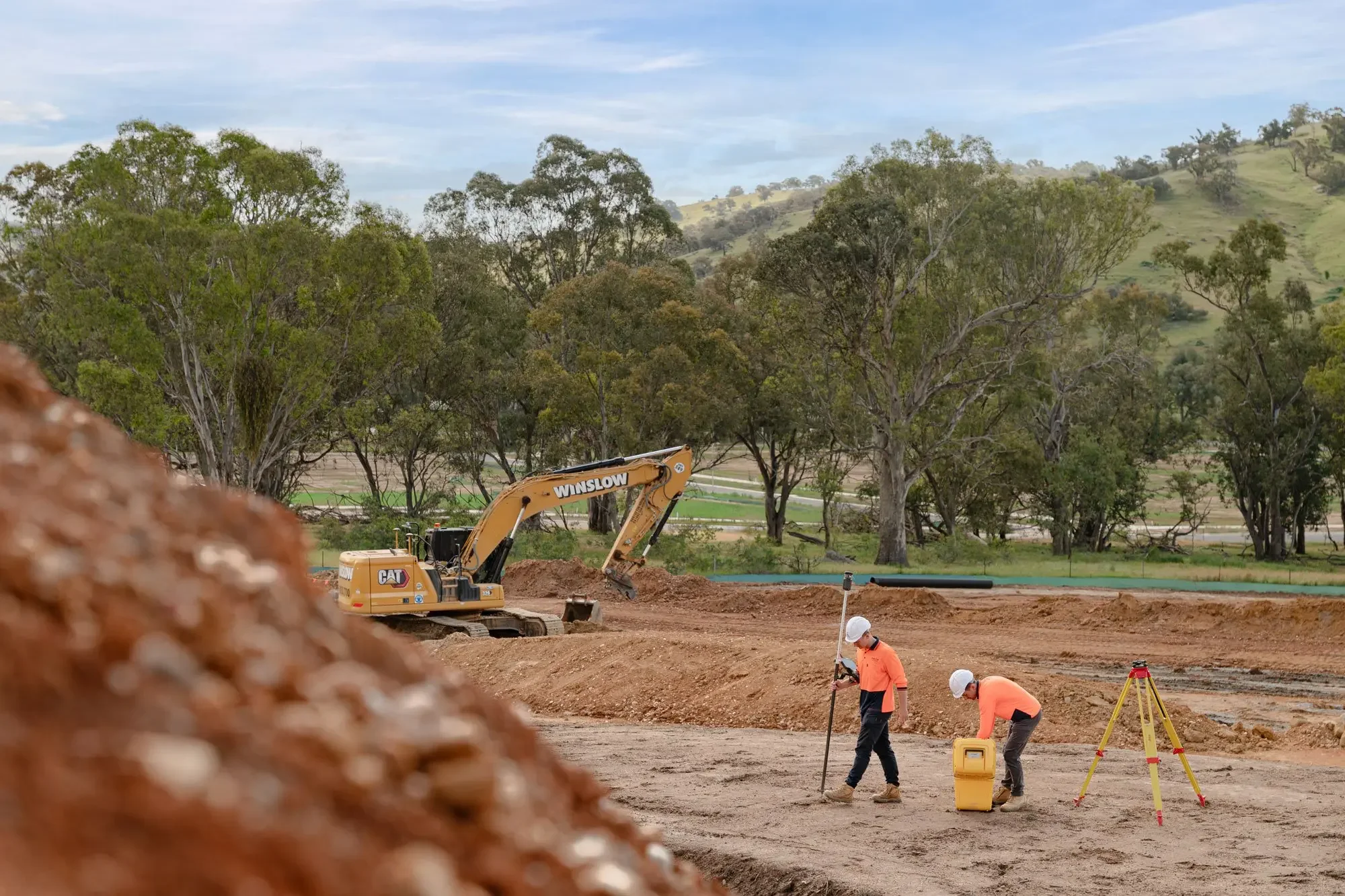
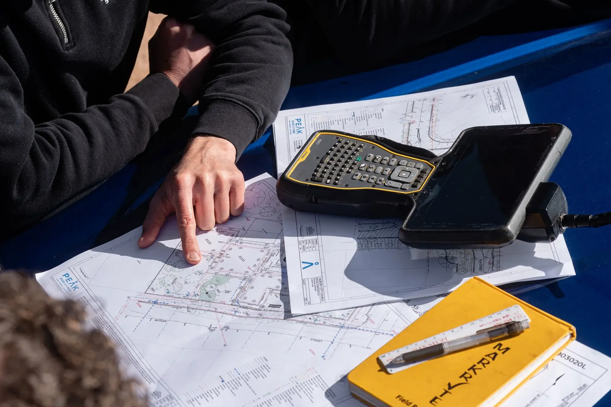
01Feature and Level Surveys
A thorough feature and level survey is the foundation of any well-designed Wangaratta project. We record everything on your site, including structures, services, vegetation, drainage lines, and ground levels, so your design team can work from accurate, up-to-date information rather than assumptions.
02Subdivisions
Wangaratta is growing, and with that growth comes increasing demand for well-planned residential subdivisions. Our licensed surveyors guide you through every stage of the process, from assessing your lot's subdivision potential through to preparing and lodging compliant plans that meet all Victorian requirements.
03Title Boundary Surveys
Many properties in and around Wangaratta carry older title descriptions that do not always reflect what is on the ground today. Our cadastral surveys cut through the ambiguity, locating, defining, and marking your legal boundaries with precision so you know exactly where your land begins and ends.
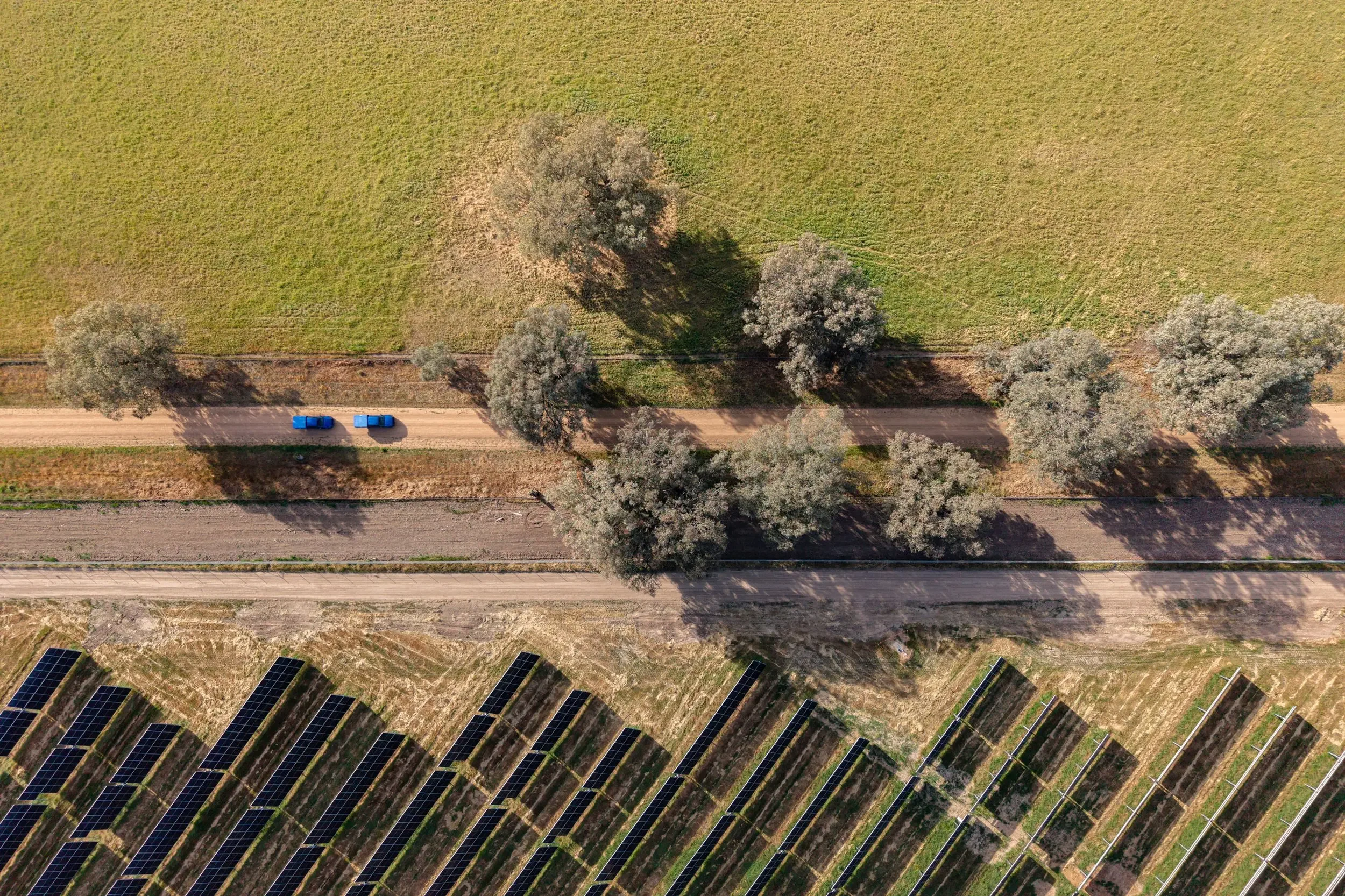
04LiDAR and Aerial Drone Surveys
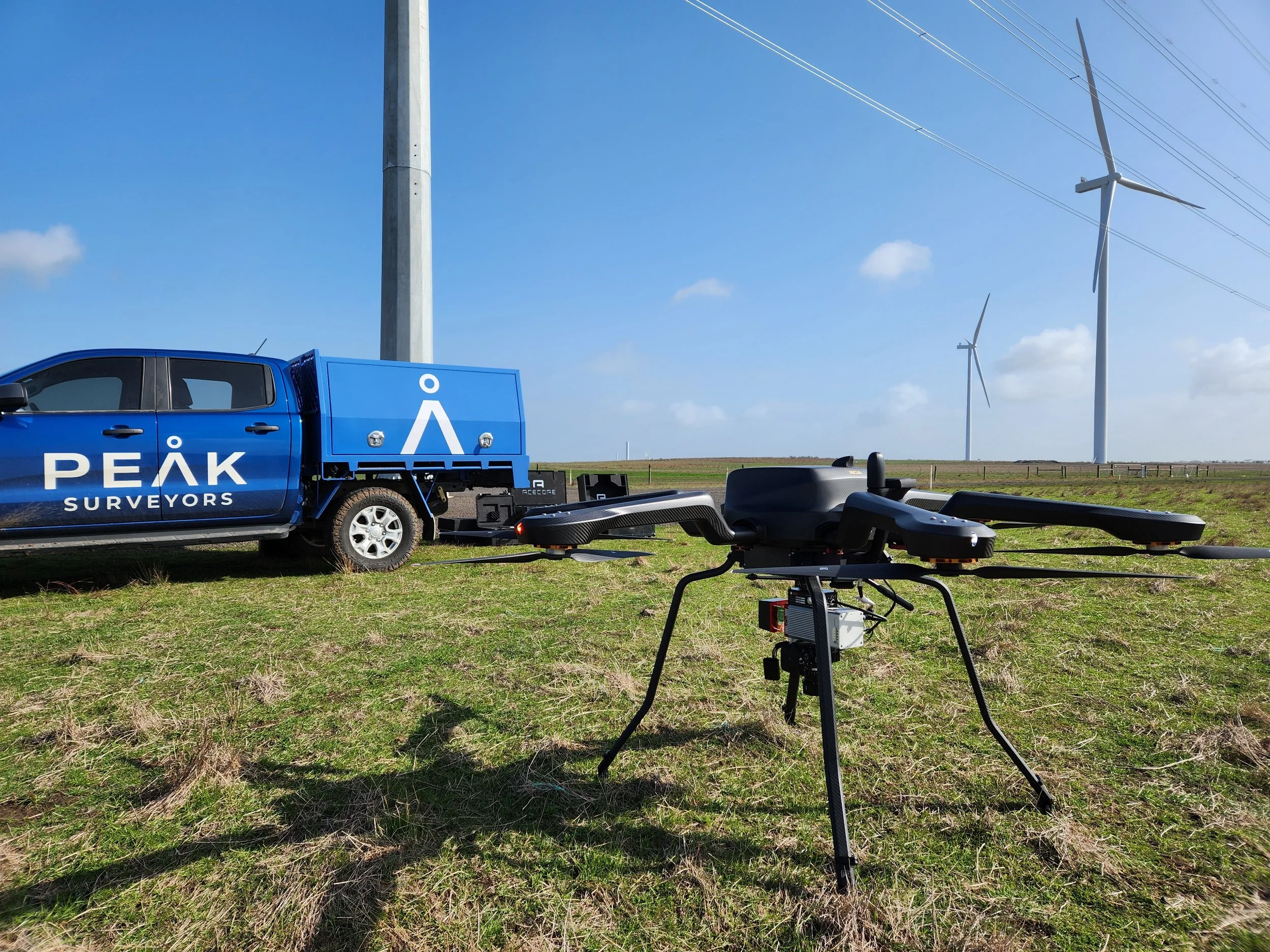
The Wangaratta region covers a wide range of terrain, from flat agricultural plains to undulating rural properties. Our LiDAR and aerial drone technology captures comprehensive, high-accuracy topographic data across large and difficult-to-access parcels, giving you a complete picture of your land without the limitations of traditional ground surveys.
053D Scanning and Spatial Solutions
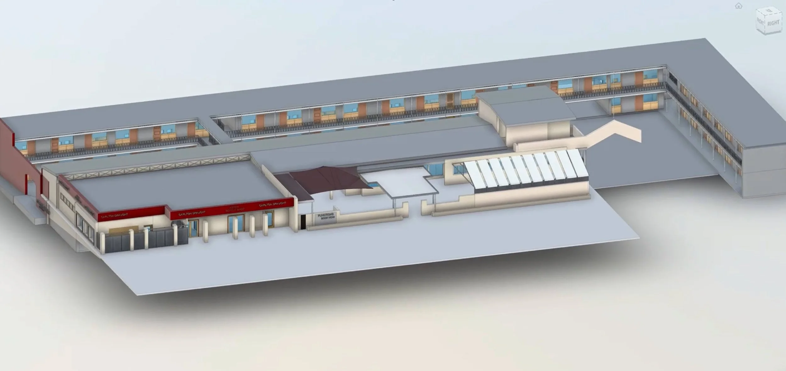
Wangaratta has a rich built environment, including older commercial buildings and heritage structures that require careful measurement. Our 3D scanning technology captures intricate detail with millimetre-level accuracy, ideal for renovation projects, heritage assessments, and engineering work where precise spatial data is non-negotiable
06Easements and Title Advice

Rural and semi-rural properties around Wangaratta often carry complex easement arrangements, whether for water access, drainage, or right of way across neighbouring land. We help you understand what is on your title, advise on how existing easements affect your plans, and create new easements where your project requires it.
07Title Consolidations
If you hold multiple adjoining parcels in the Wangaratta area and want to simplify your title structure, we manage the full consolidation process, preparing all required plans and lodging them with Land Use Victoria to bring your lots together under a single, clean title.

Precision. Passion.
Your partner in surveying.

Our process.
Our process — clear from start to finish.
Whether you are a first-time property developer or an experienced builder, the surveyors at Wangaratta-based Peak Surveyors make the process straightforward. You will always know where your project stands, from the first conversation to the final plan.
Enquiry and quote
Reach out and tell us what you are working on. We ask the right questions, assess the scope, and come back to you with a clear, itemised quote so there are no surprises when the invoice arrives.
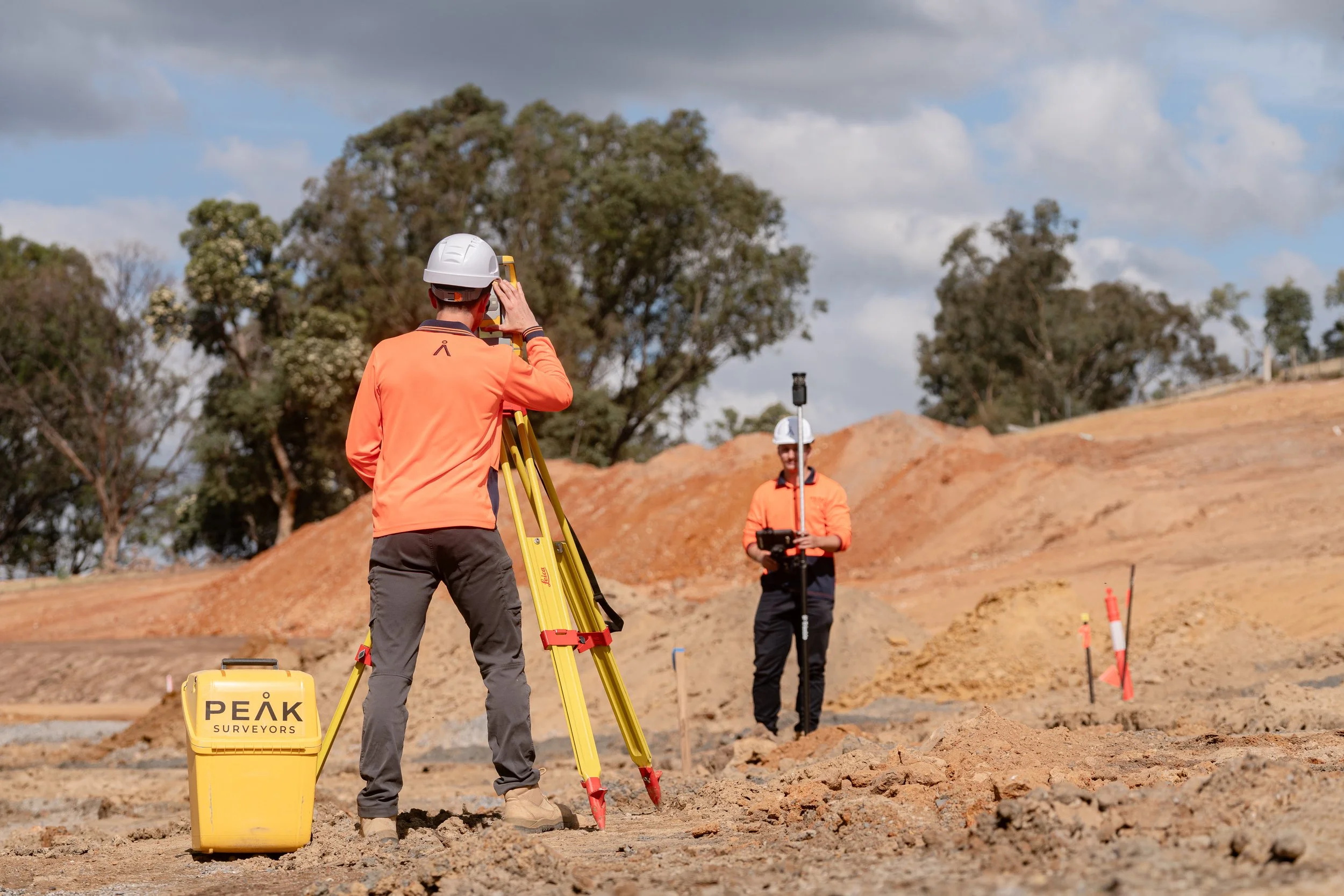
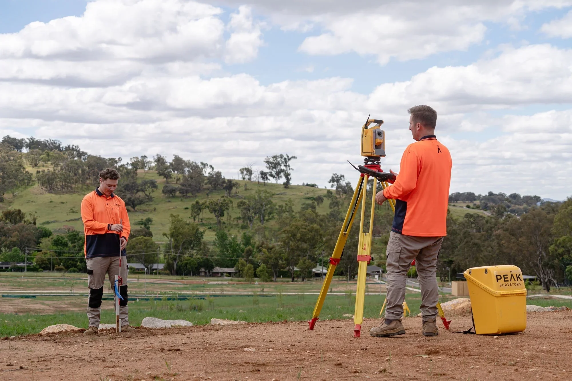
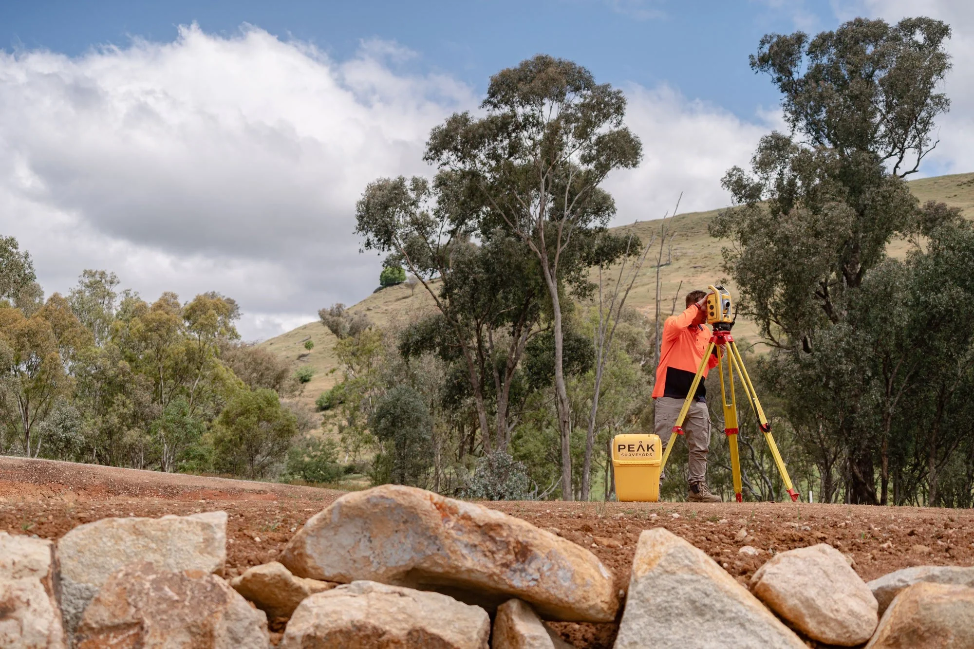
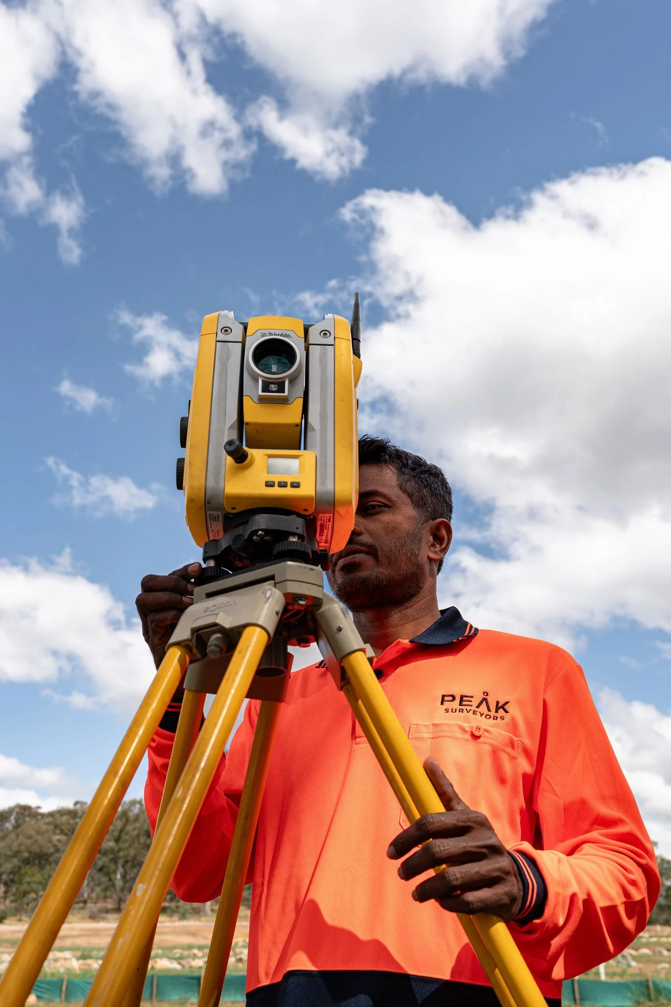
Site vist
We attend your Wangaratta property with the right equipment for the job. Our surveyors work methodically and carefully on site, gathering everything needed to produce an accurate, complete survey.
Processing and QA
Every dataset goes through a rigorous in-house quality assurance process before anything is finalised. We check our own work because accuracy at this stage protects you further down the line.
Plan delivery
Final plans are delivered digitally in your required format, ready to submit, share, or build from. If anything needs clarification after delivery, we are available and easy to reach.
Why choose us.
Why Wangaratta chooses Peak Surveyors
We Are Registered and Licensed.
Every survey is undertaken by a fully Licensed Surveyor, and that distinction matters. Only Licensed Surveyors can legally define property boundaries and complete subdivisions in Victoria. With over 17 years of experience and a reputation for clear communication and dependable service, we deliver results you can trust.
We know the land.
As surveyors serving Wangaratta and the wider region, we have worked across long-established rural titles, newer residential estates, commercial precincts, and agricultural holdings. That breadth of local experience shows in the quality and efficiency of every job we deliver.
We are focused.

We are not a generalist firm that does a bit of everything. Surveying is our sole focus, which means our team, our processes, and our equipment are all built around doing one thing exceptionally well. For Wangaratta clients, that focus translates directly into better outcomes and fewer delays.
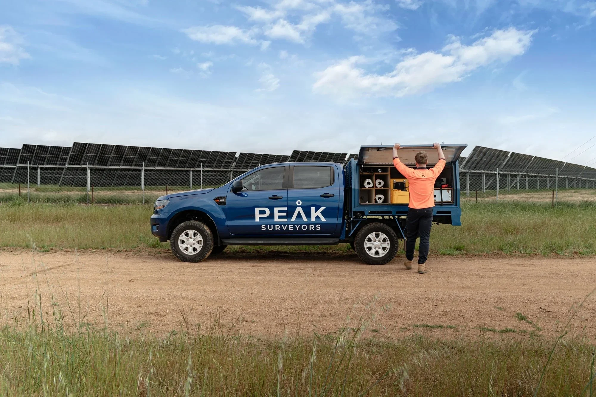
We Have the Tools.

Surveying technology has advanced significantly, and we stay at the front of it. Our aerial drones, LiDAR systems, and 3D scanning equipment mean we can take on projects that would be impractical or inaccurate with conventional methods alone, particularly across the Wangaratta region's mix of built and rural environments.
Testimonials.
Kind words from our clients.
Peak Surveyors excel in precision and professionalism. Their top-notch surveying services, from boundaries to topography, are indispensable for any project. With their expertise, your home, business or development ventures are in capable hands. Accurate results and utmost reliability.
Robert Joyce
James and the team did an amazing job at Whitfield Primary School. Not only did they execute a tricky site and assist with developing expertise, they also took the time to teach the kids all about surveying and took pics of them for their use, using their specialised drones also!
Anna Pizini
Very pleased with Peak Surveyors! They were very patient with us and our subdivision. It took us 4 years to get completed due to Covid and other factors. Peak Surveyors kept helping and checking in along the way. Would highly recommend them, very easy going people
Joel Merkel
Questions we hear often.
Questions We Hear From Wangaratta Homeowners, Builders, and Developers.
Don't see what you're after? Call us directly.
-
Our surveyors know Wangaratta's land well, from older rural titles on the region's agricultural fringes to newer residential lots within the township. That local knowledge, combined with over 17 years of experience and industry-leading equipment, means we are well placed to handle any survey project in the area accurately and efficiently.
-
Yes. A licensed survey is a required step in the Victorian subdivision process. Beyond the legal requirement, getting the survey right early prevents costly corrections later. Our surveyors manage the full Wangaratta subdivision process from initial assessment through to lodgement, keeping you informed at every stage.
-
Absolutely. Large rural parcels are well within our capability. Our LiDAR and aerial drone technology is particularly well-suited to covering extensive areas efficiently and accurately, capturing terrain, boundaries, and features across properties that would take significantly longer with ground-based methods alone.
-
It depends on what is needed. A residential feature and level survey can often be completed within a few days of the site visit. More complex work such as boundary surveys, subdivisions, or large rural parcels takes longer, particularly where lodgement with Land Use Victoria is involved. We give you a straight answer on timing when you enquire.
-
Get in touch via phone, email, or our online enquiry form. Tell us about your property and what you are trying to achieve, and we will get back to you with a clear quote and a realistic timeline.
Get in touch
Get a quote for your
Wangaratta project
Fill in the form with your project details and we'll come back to you with a clear, fixed quote — typically within one business day.
Servicing Albury, Wodonga & the Murray Region
NSW & VIC Registered — Both Sides of the Murray
Areas we serve.
We work across the Albury Wodonga region and surrounding towns on both sides of the Murray River.