
Topographic, Boundary, and Subdivision Surveys: Which One Do You Need?
Key Points:
A topographic survey maps a property's natural and built features, giving architects, engineers, and planners the accurate site data they need before design work begins.
A boundary surveyor defines the legal limits of a property, providing essential protection for owners during transactions, construction planning, and dispute resolution.
Subdivision land surveying is the formal legal process of dividing a parcel into separate titled lots, and must comply with state legislation in both NSW and Victoria.
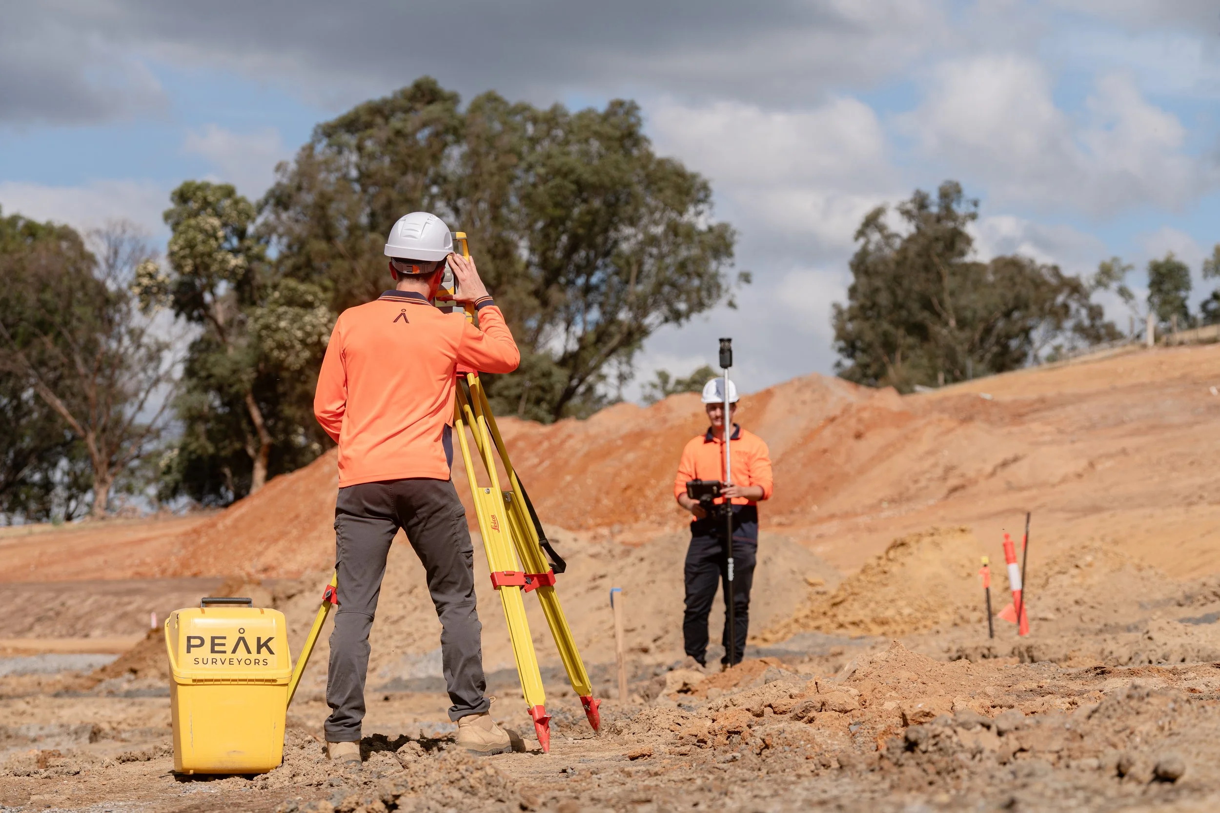
Peak Surveyors is a licensed land surveying firm serving Albury-Wodonga, Wangaratta, Bright, and Wagga Wagga, managing every stage of a project from initial advice to final title registration.
Summary:
Understanding the different types of land surveying services helps property owners and developers choose the right survey for their project. This guide explains the purpose of topographic surveying, boundary surveys by a boundary surveyor, and subdivision land surveying, including when each is required. With the support of a licensed land surveyor, you can ensure accurate data, compliance, and better project outcomes.
Outline:
If you are planning to build, purchase land, or move forward with a development project, understanding the right type of survey is essential. Different surveys serve different purposes, and choosing the right one can save time, reduce risk, and keep your project on track.
In this guide, we break down the key differences between topographic, boundary, and subdivision surveys, including when each is required and why they matter.
What is a Topographic Survey?
A topographic survey, also known as a feature and level survey or existing conditions survey, captures the physical characteristics of a site in detail. This includes both natural elements like terrain and vegetation, as well as built features such as buildings, fences, and services.
Through topographic surveying, surveyors create a clear map showing contours, elevations, and site features. This gives designers and engineers a reliable understanding of the land before any work begins.
Why it matters:
Topographic surveys play a critical role in planning and design by helping project teams:
Understand site conditions before construction
Design around natural features and elevation changes
Identify drainage patterns and potential constraints
Reduce costly design changes later in the project
When you need it:
Before starting construction or designing a development
During planning permit or development applications
For civil engineering and infrastructure design
For land development or site assessments
How it is conducted:
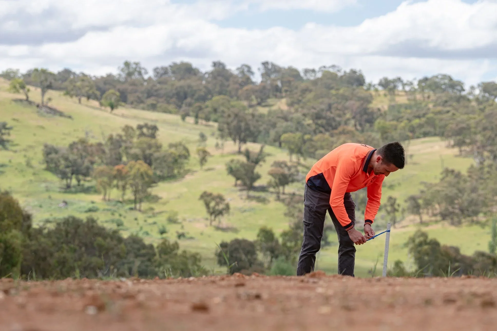
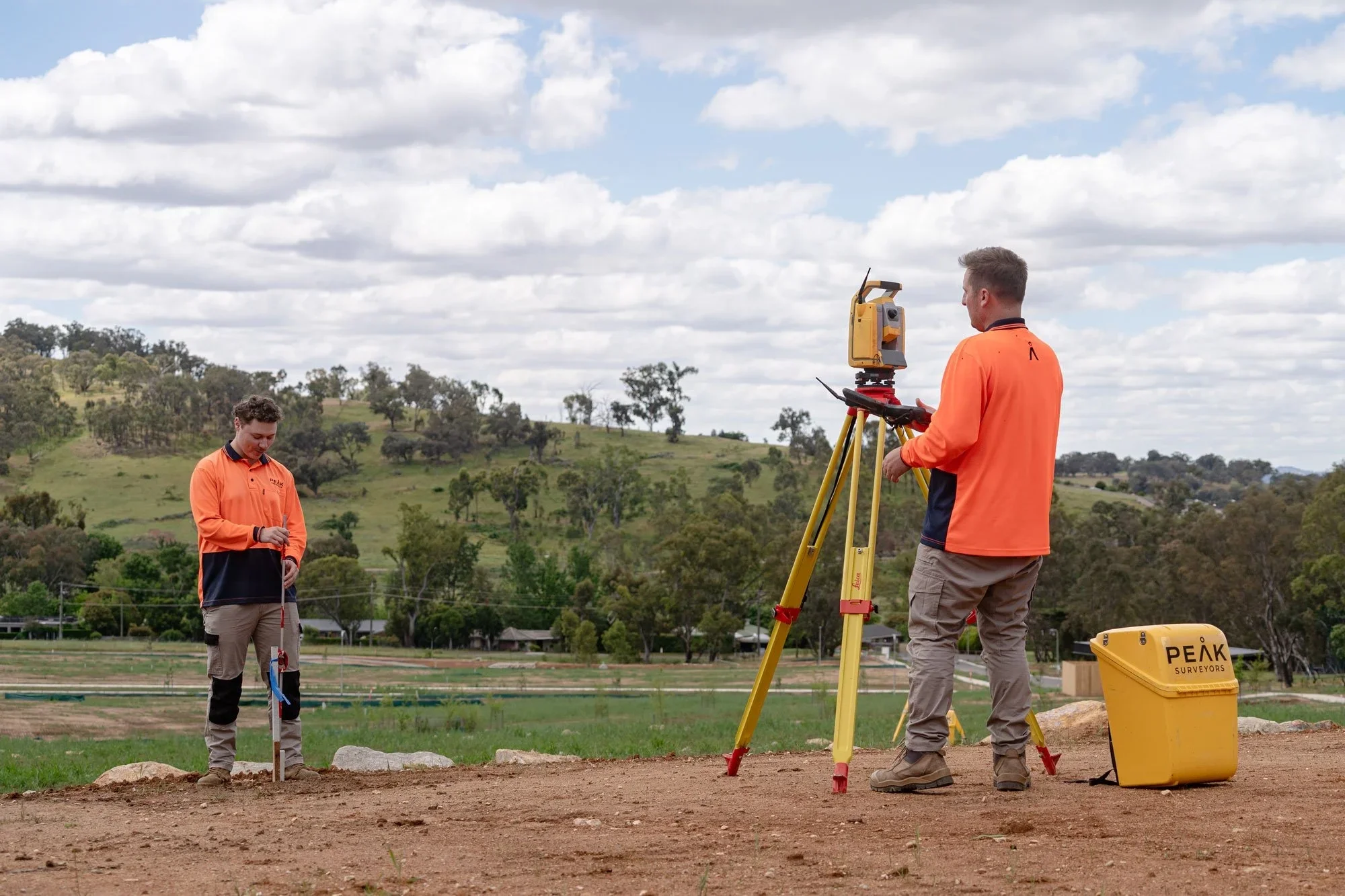
A licensed land surveyor uses advanced tools such as GPS, total stations, drones and laser scanning to collect precise measurements. This data is then processed into detailed plans ready for use by architects, engineers, and planners. The land surveyor maps the land in such detail that often the designers can be located remotely from the site and complete all their design work without needing to visit the site.
What is a Boundary Survey?

A boundary survey defines the exact legal limits of a property. It is carried out by a boundary surveyor who reviews title records, historical data, and physical evidence on-site to accurately locate property boundaries.
This type of survey forms the backbone of land ownership in Australia, providing clarity for property transactions, development, and legal matters.
Why it matters:
Boundary surveys provide certainty and protection by:
Clearly identifying property lines
Preventing disputes with neighbouring properties
Supporting property sales and purchases
Ensuring compliance during construction
Identifying easements that may relate to the site boundaries
When you need it:
Before buying or selling land
Prior to building near property boundaries
When resolving boundary disputes
For fencing or development planning
To identify features that may encroach on boundary lines
How it is conducted:
The process typically involves reviewing title documents and past surveys as well as conducting field measurements using GPS and total stations. The boundary positions are then analysed and verified to produce a legally recognised survey plan.
Modern land surveying services also use 3D scanning technology to improve accuracy and provide clearer site insights.
What is a Subdivision Survey?
A subdivision survey is used to divide a single parcel of land into multiple lots, each with its own legal title. This process is essential for developers, investors, and landowners looking to unlock the value of their property.
Subdivision land surveying involves careful planning, compliance with local regulations, and precise measurement to ensure each new lot meets legal requirements.
Why it matters:
Subdivision surveys allow you to:
Create new lots for sale or development
Maximise land value and usage
Plan infrastructure such as roads and services
Meet council and regulatory requirements
When you need it:
Developing residential or commercial projects
Selling part of your land
Estate or family land division
Rezoning or land use changes
How it is conducted:
A licensed land surveyor manages the full process, which starts with an initial consultation and feasibility assessment. Site measurements and data collection are also carried out in preparation for the subdivision plans. Lodgement and approval with local authorities are also conducted before the final survey and title registration.
Because requirements differ between NSW and Victoria, working with an experienced surveyor ensures the process runs smoothly from start to finish.
How Peak Surveyors Can Help
Choosing the right survey is only part of the equation. Having the right team behind you makes all the difference.
Peak Surveyors provides professional land surveying services across Albury-Wodonga, Wangaratta, Bright, and Wagga Wagga. As a licensed land surveyor operating across NSW and Victoria, we support projects of all sizes, from simple boundary identification to complex subdivision land surveying.
Our team combines local knowledge with modern technology to deliver:
Accurate and reliable survey data
Clear, easy-to-understand documentation
Efficient turnaround times
Guidance at every stage of your project
If you are planning your next project and need advice on the right survey, get in touch with Peak Surveyors today. We are here to help you move forward with clarity and confidence.