

Peak Surveyors provides a fully licensed and registered surveying service for projects on both sides of the Murray River.
Reliable. Expert. Fast.
With 17 years of experience behind us, our people are trusted for professional surveying services.
We measure up.


Your project is our focus.
Professional surveying services.
From subdivisions to determining the position of property boundaries, we provide the information you need to make your next project a success.
-
Including:
— Torrens title
— Community title
— Strata title
— Owners Corporation -
LiDAR (Light Detection and Ranging) is a remote sensing method that uses laser light to measure distances and create 3D representations of surfaces.
Aerial drone surveys use unmanned aerial vehicles (drones) equipped with various sensors, including LiDAR, to capture spatial data over large areas.
LiDAR, when used in conjunction with drones, allows for highly accurate topographic mapping, environmental assessment, and detailed 3D modelling.
-
3D scanning and spatial surveys involve using specialised technology to capture the precise geometry and spatial data of physical objects or environments, creating detailed digital representations.
-
Cadastral or title boundary surveys define and record the boundaries of land parcels for legal and ownership purposes. These surveys are crucial for establishing property lines, facilitating land transactions, and resolving boundary disputes.
-
Title consolidation refers to the legal process of merging two or more separate land titles into a single, unified title. This is typically done when adjacent or related parcels of land are owned by the same party and are intended to be treated as one unit. The result is a single Certificate of Title for the consolidated land.
-
A feature and level survey, also known as a topographic survey or site survey, provides a detailed map of a property's physical characteristics, including both natural and man-made features, as well as the ground's contours and elevations. This type of survey is crucial for various projects, including construction, development, and environmental assessments.
-
Professional advice on easements and their legal implications for property.
Case studies.
Just some of the regional projects we’ve helped get off the the ground.
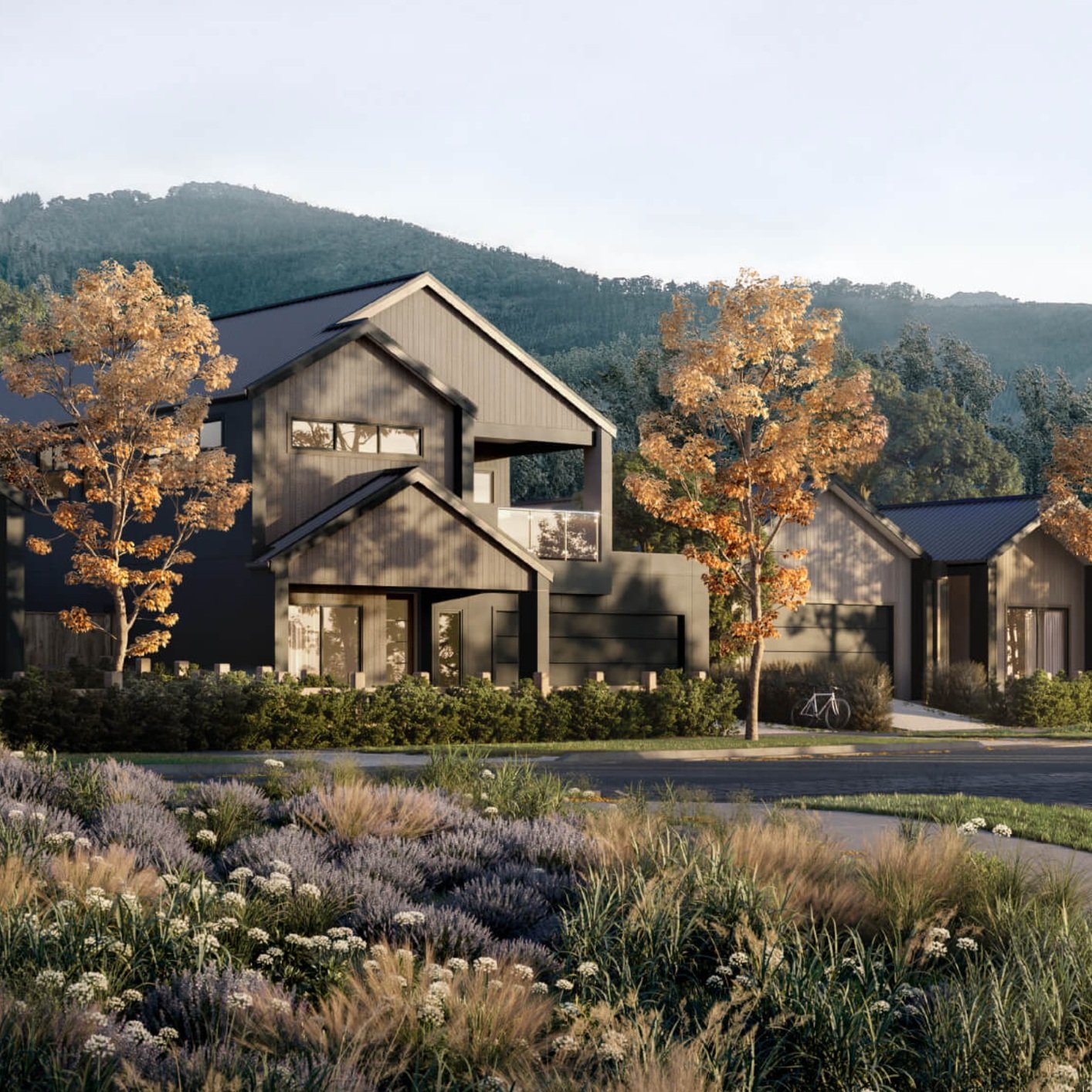
Bright Valley Estate

Meridien Rise Estate

Castle Creek Estate

Glenellen Solar Farm
